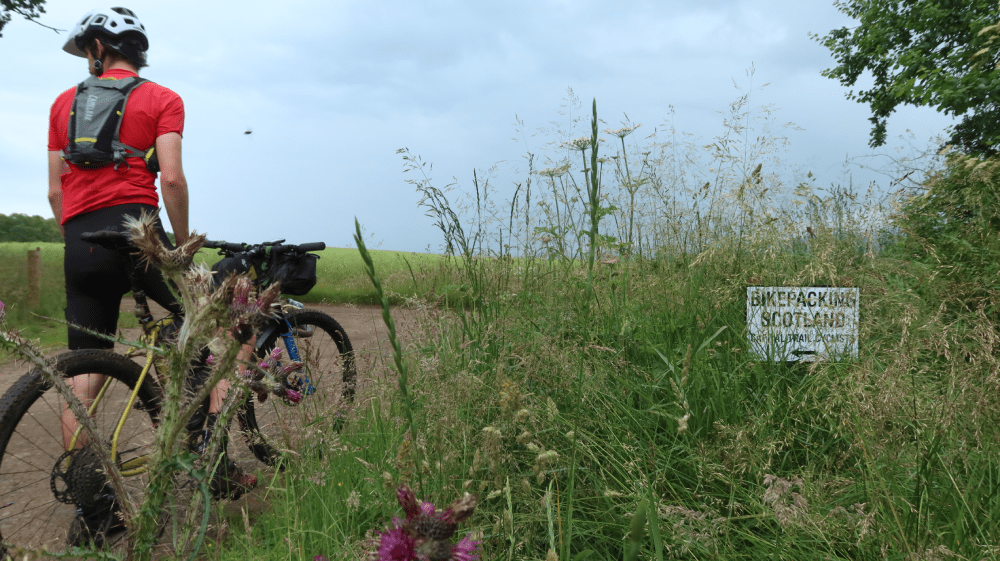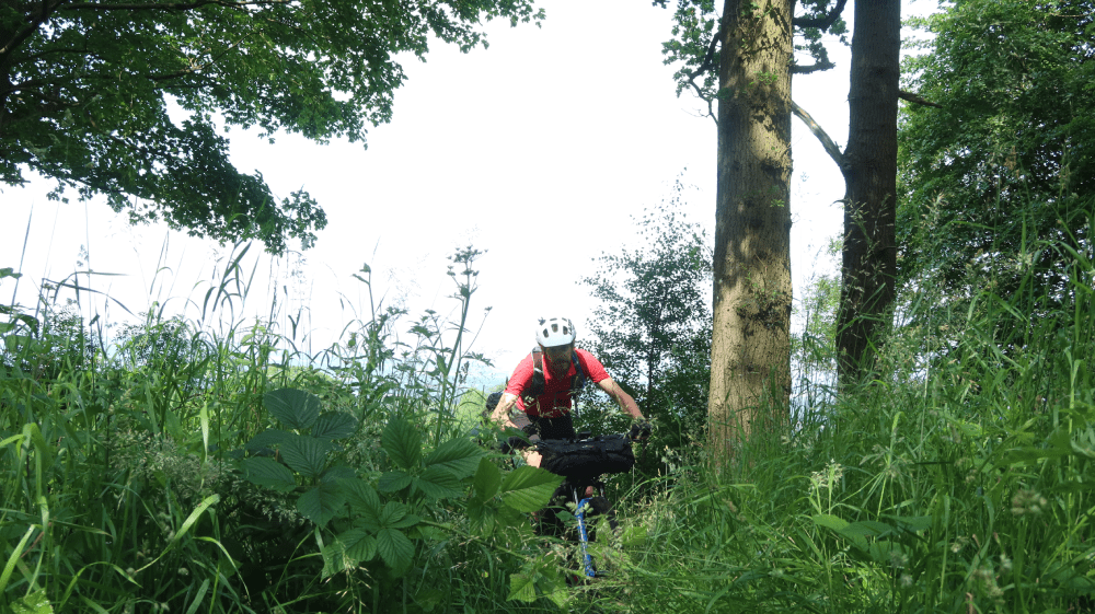
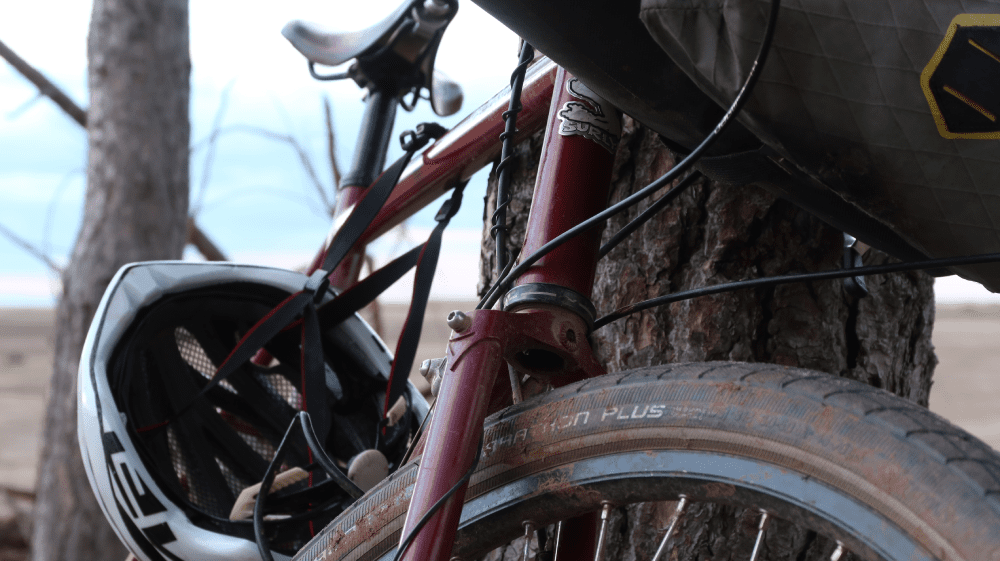
Go Bikepacking
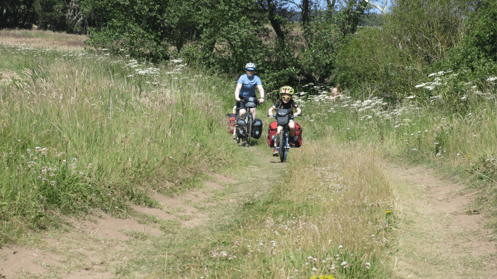
The Go East Lothian Trail is a fun bikepacking adventure. For those wanting a great longer adventure, the John Muir Way offers a bikepacking journey from John Muir's birthplace in Dunbar to the West Coast. The Explore your Boundaries route, devised by Markus Stitz and Mark Beaumont, is a great challenge to discover all East Lothian has to offer.
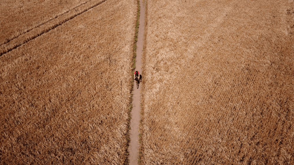
go East Lothian trail
Summary
| Suitable for: | Gravel and mountain bikes |
| Total distance: | 62.3 km |
| Total ascent: | 330 m |
| Terrain: | A mixture of quiet roads, gravel tracks, singletrack, walking and cycle paths |
| Access: | Gates and barriers |
| Route Category: | Challenging (2 days) or Expert (1 day) |
| Riding time: | 1 - 2 days |
| Start / Finish: | North Berwick, Scottish Seabird Centre |
| OS Grid Ref: | NT 55400 85516 |
| Getting there by public transport: | North Berwick and Dunbar are served by trains from Edinburgh, bikes are free |
| Key Facilities on Route: | North Berwick, Musselburgh, Prestonpans, Port Seton |
| OS Landranger Map: | 66/67 |

Route Description
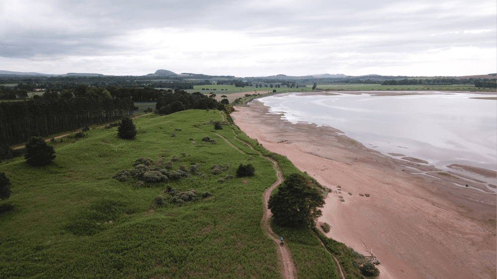
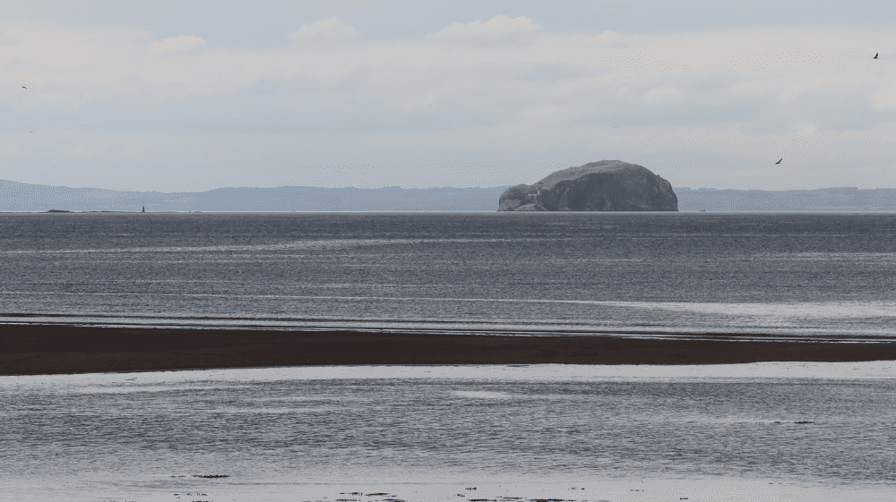
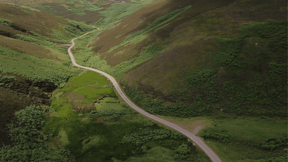
The Go East Lothian Trail starts at Scottish Seabird Centre in North Berwick, a vibrant and scenic harbour town in East Lothian, boasting great beaches, an eclectic mix of shops, cafes and bars, and not to mention world-renowned golf courses. Gilsland Park is a great base for anyone wanting to stay for the night, with family studios and more basic glamping pods to hire. From the harbour the route follows the road eastbound along the beach before a short climb takes you into Tantallon Caravan and Camping Park. Take care while riding through here, as this is an active golf course. The next section of the trail runs on the A198 to Drift, a café overlooking the stunning cliffs on the coast. This is the best place for views towards the magnificent Bass Rock, the world’s largest colony of northern gannets.
After another short section on the public road the trail continues after Auldhame on a private road, taking you past Tantallon Castle to Seacliff Beach. Take care when descending on the gravel road towards the beach, which is popular with horse riders, kayakers and walkers. From the car park a small road climbs back up again, continuing past Scoughall to Peffer Sands and Ravensheugh Sands. The dunes and beaches here are brilliant for a short walk, before the route joins a minor road at the car park at Tyninghame, which is the starting point of a variety of walking and cycling trails. The route follows a quiet road and then travels a short bit on the A198, before joining the B1407 towards East Linton. The Tyninghame Smithy is a popular stop for cyclists, offering great food and refreshments. From here the route continues on the B1407 for a short while, before joining the John Muir Way cycling route on the left. Crossing Dawes Ford can be dangerous, a bridge on the left makes the crossing much safer, before the route leaves the John Muir Way cycling route and joins the A198 again. It joins a rough gravel track on the right shortly afterwards, linking with the John Muir Way at Hedderwick Sands. You’ll cycle past a wetland on your left and concrete constructions on the right, which served as anti-tank barriers during World War II.
After crossing a wooden bridge, the route follows a sandy track through a pine forest and past East Links Family Park, a popular destination for families, and past public toilets. From here the route continues on a track to Beilside and along the Biel Burn, before joining NCN 76 through Belhaven, past Belhaven Brewery. The route follows NCN 76 into Dunbar, and then takes a right turn to join Belhaven Road (A1087). Shortly afterwards you’ll find Belhaven Bikes on the left in a service station, which offers bike services and hire bikes. The route joins NCN 76 in the centre of Dunbar, and then leaves the NCN route on Countess Road, where a small road takes you to the train station on the left.
From Dunbar train station the route follows a cycle path, before crossing Lochend Road and continuing on a smooth gravel trail through the forest and past residential areas. Shortly after exiting the forest, the route runs on a gravel path alongside the A1 for a short section, before joining a minor road to West Barns. After a sharp left turn the route crosses the railway on a bridge and then follows a cycle path parallel to the A1. After a roundabout, the route continues parallel to the A199 and then on NCN 76 for a few kilometres. The Go East Lothian Trail leaves NCN 76 at the Hen House and joins the John Muir Way shortly afterwards. The trail along the River Tyne can get muddy in wet conditions, but otherwise offers superb riding to Preston Mill, a picturesque mill with waterwheel, millpond and doocot, which was used as a location in Outlander.
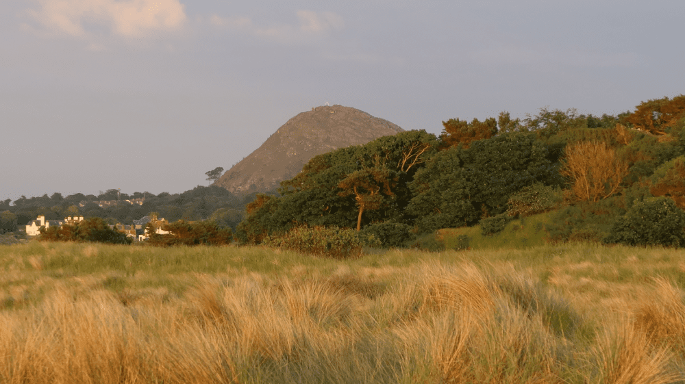
East Linton also has a variety of shops and places to eat. After a short section on the B1407 the route follows a small private road to Smeaton Nursery Gardens and Tearooms, another popular stop for cyclists. After a gravel track, the route rejoins the John Muir Way cycling route for a short while to Binning Wood. The next turnoff on the left is easy to miss, so take extra care. After passing through a gate the route follows a walking path through the forest, crossing the Peffer Burn on the right and passing a small loch on the left. The route takes a right turn at a country house and then follows a farm track to join the John Muir Way after a few kilometres. This section can get very muddy when wet. From here you can make a detour to the National Museum of Flight and rejoin the Go East Lothian Trail at Kingston. The route continues north to Craigmoor Wood, one of the best sections of the route. A flowy trail takes you through the forest and then on a trail through a field towards the North Berwick Law. The route then joins a small road to the left, which merges onto the B1347 to Kingston. The route continues past Kingston Cottages to Dirleton. After the short section on Manse Road, a track through a woodland starts at Dirleton Kirk and takes you to Yellowcraig. The playground here is popular with kids, while the beach and the dunes make for some of the best riding East Lothian has to offer. The route continues on the John Muir Way past Broad Sands (Yellowcraig Beach) into North Berwick, where it finishes at the Scottish Seabird Centre.
If you enjoyed this route, why not try the following?
Tour of the Lammermuirs Gravel Adventure
Scottish Outdoor Access Code: know the code before you go
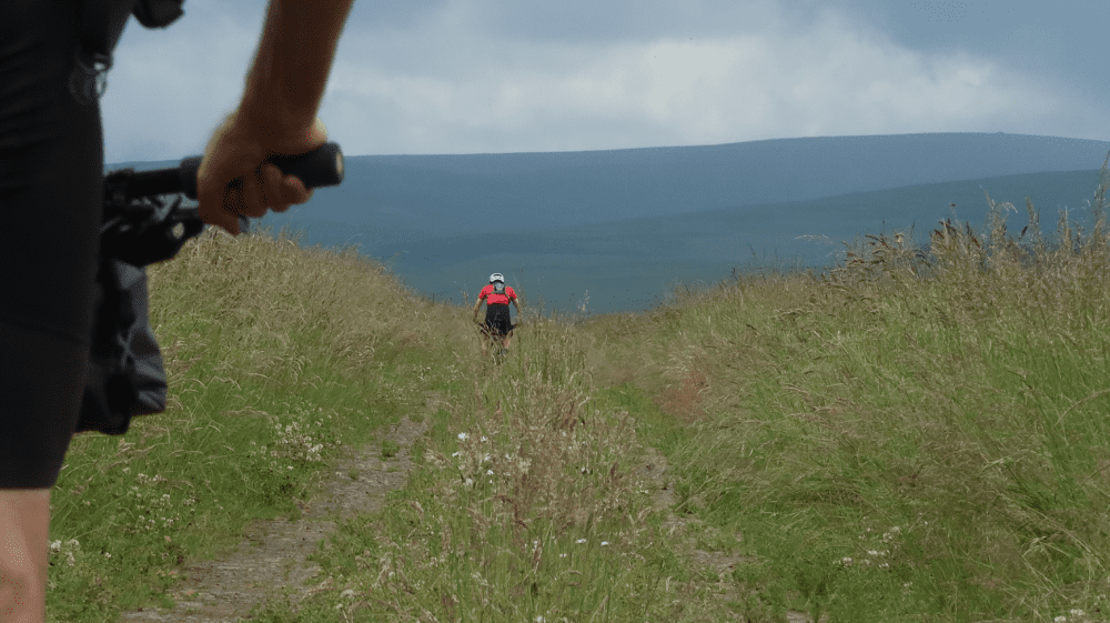
gallery


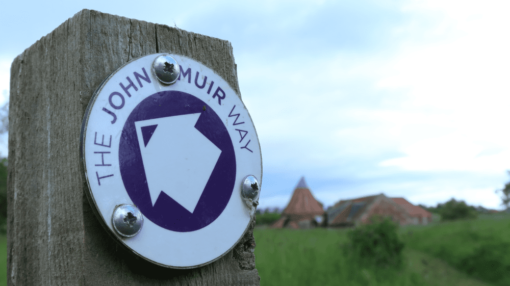
John Muir Way Bikepacking Route
Summary
One of Scotland’s Great Trails, the John Muir Way offers a unique coast to coast bikepacking journey through Scotland’s landscapes, history and heritage, linking Helensburgh in the west with Dunbar, the birthplace of John Muir, in the east. The route symbolically passes through Scotland’s first national park, Loch Lomond & The Trossachs, and offers a journey of contrasts and the chance to connect with nature, taking advantage of the green spaces that link coasts, villages, towns and even the capital city, Edinburgh.
| Suitable for: | Gravel and mountain bikes |
| Total distance: | 209 km |
| Total ascent: | 1,770 m |
| Terrain: | A mixture of quiet and busy roads, gravel tracks, singletrack, walking and cycle paths |
| Access: | Some steps and narrow gates |
| Route Category: | Challenging (based on a 5 day itinerary) |
| Riding time: | 4 - 5 days |
| Start / Finish: | John Muir’s Birthplace, Dunbar |
| OS Grid Ref: | NT 67878 79014 |
| Getting there by public transport: | Dunbar has regular train services from Edinburgh and London, bikes are free but must be reserved on LNER trains, Borders Buses Service 253 (Edinburgh to Berwick-Upon-Tweed via Dunbar) takes bikes for free |
| Key Facilities on Route: | Dunbar, North Berwick, Prestonpans, Musselburgh, Edinburgh, South Queensferry, Bo’ness, Falkirk, Bonnybridge, Kirkintilloch, Strathblane, Balloch, Helensburgh |
| OS Landranger Map: | 56/63/64/65/66/67 |
Route Description
A full route description can be found at bikepackingscotland.com/johnmuirway.
If you enjoyed this route, why not try the following?
Explore Your Boundaries East Lothian
Scottish Outdoor Access Code: know the code before you go
gallery


Explore Your Boundaries
Summary
This route offers a multiday gravel adventure that combines the remote Lammermuir Hills with the stunning East Lothian coast line, with beautiful beaches and plenty of places to stop and enjoy.
| Suitable for: | Gravel and mountain bikes |
| Total distance: | 169 km |
| Total ascent: | 1800 m |
| Terrain: | A mixture of quiet and busy roads, gravel tracks, singletrack, walking and cycle paths |
| Access: | Some gates might be locked, small bridges and steps |
| Route Category: | Expert |
| Riding time: | 2 - 3 days |
| Start / Finish: | Musselburgh, Fisherrow Harbour |
| OS Grid Ref: | NT 33501 72950 |
| Getting there by public transport: | Musselburgh, Prestonpans, North Berwick and Dunbar are served by trains from Edinburgh, bikes are free |
| Key Facilities on Route: | Musselburgh, Whitecraig, Humbie, Dunbar (no facilities in the Lammermuir Hills), West Barns, Tyninghame, North Berwick, Gullane, Aberlady, Longniddry, Port Seton, Prestonpans |
| OS Landranger Map: | 66/67 |
Route Description
The ride starts at Fisherrow Harbour in Musselburgh, with a small cafe and a fuel station providing provisions if needed. The route follows quiet residential streets first and then joins Sustrans Route 1 (NCN 1) along the banks of the River Esk. This is also the first section of the Capital Trail, another popular bikepacking route, developed in 2015 as the first Bikepacking Scotland route. The route continues on a small track at the edge of a field past Whitecraig to connect with NCN 1 again. If this path is too overgrown, simply follow the signs for NCN 1 through Whitecraig for an alternative. Shortly afterwards the route proceeds on another popular Sustrans route in East Lothian, NCN 196, which leads to the Pencaitland Railway Walk, a former railway line that served local collieries and the ironworks. Before Ormiston, Scotland’s first planned village, the route follows a small path over a river and then joins a wider track onwards. After the next section on roads of varying degrees in size, a gravel track is followed, which offers great views northbound towards the Lomond Hills. From Costerton, quiet roads lead to the first proper opportunity to stop for refreshments, Humbie Hub, a community-run village shop, post office and café. This is also the last food supply point until Dunbar, about 80 km (50 miles) away, and natural water sources along the route are sparse and filtering is needed.
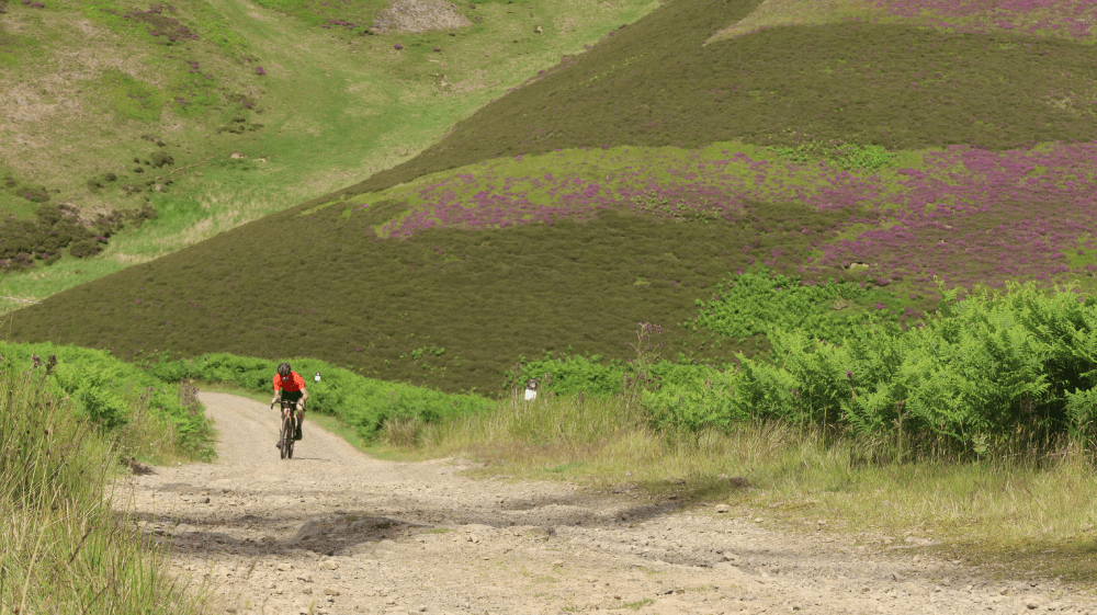
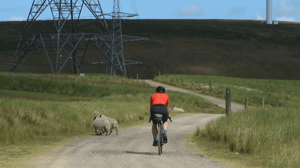
From Humbie the riding gets much more strenuous and remote. Mostly on gravel tracks the route climbs into the Lammermuir Hills, which form a natural border between East Lothian and the Scottish Borders. After another short section on a tarmac road, the route follows a good gravel track through a farm and climbs steeply towards a wind farm. Depending on gear range and fitness this might be the first opportunity to push the bike, but the views will make up for hard work on the steep climb. After passing a gate on the top extra care is needed at certain times of the year, as large herds of cattle graze the land here. The route follows gravel roads through the wind farm as the route undulates over the Lammermuir Hills. Steep climbs are followed by fast downhills through open moorland. From mid-summer into early fall, when the heather is in full bloom, this route provides an amazingly scenic ride. The route shortly overlaps again with the Capital Trail again, which takes a different route south after Waddelscairn Moor. As for any adventure in exposed places, it proves worthwhile checking the wind direction and weather before setting off on this ride. Particularly this section on the top can be very challenging in high winds and offers no shelter at all. A more rocky descent towards the Faseny Water is followed by some tarmac to relax for a while. This is part of a classic road cycling route from Gifford to Duns, and also comes in handy as an escape route if necessary.
After about four kilometers (2.5 miles) the route ventures back off-road and climbs steeply towards Priestlaw Hill. The hard work is rewarded with a fantastic descent and views over Whiteadder Reservoir, which was constructed in the 1960s and is one of the main freshwater supplies for East Lothian. In the summer multiple watersports can be enjoyed here. The route crosses the Whiteadder reservoir on a road and follows a gravel track on the edge of a small forest before it climbs into open moorland again. The climb passes the ruins of Gamelshiel Castle on the south side of the Hall Burn. Shortly afterwards a good gravel road is once again providing fantastic gravel riding across the Crystal Rig wind farm, the second largest in the United Kingdom.
The route more or less follows the boundary of East Lothian, but the ride can be shortened if necessary at kilometre 69 (mile 42) by cutting straight across the valley. On the wind farm, there are also several other alternative tracks to either shorten or extend the ride. After a more technical descent through woodland, the route rejoins a quiet tarmac road for a while. After another gravel section, a road leads to Oldhamstocks, the first human settlement for a while, which also marks the end of the Lammermuir Hills. After following a mixture of roads, double tracks and singletrack Dunglass Church, now in the care of Historic Environment Scotland, is situated in an idyllic mix of well-manicured lawns and thick woodland and is one of the top attractions in East Lothian. Shortly afterwards Sustrans Route 76 is joined.
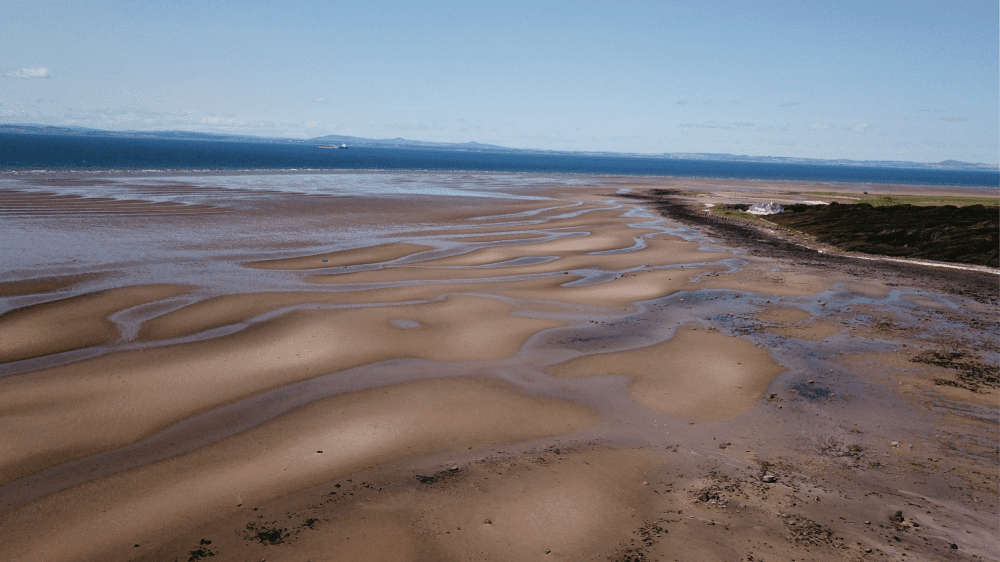
An eyesore for most, fascinating for others, Torness Nuclear Power Station is hard to ignore when emerging from the hills into the flatter coastal landscape. At Thorntonloch the route leaves the NCN 76 and joins the John Muir Link. This is a coastal (walking) path connecting the John Muir Way at Dunbar to the Southern Upland Way and the Berwickshire Coastal Path at Cockburnspath. The next section of the route follows the John Muir Link northbound. There is a succession of great beaches all the way to Dunbar, but picturesque Skateraw Harbour is definitely one of the highlights of the Explore Your Boundaries route. With the beauty of the coast comes some more technical riding at times, with short sections that require pushing. Continuing on NCN 76 provides a less technical and faster alternative for this coastal section to Dunbar.
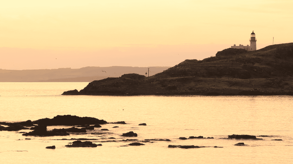
The route passes Barns Ness Lighthouse, which was constructed by the engineers and brothers David A. Stevenson and Charles Alexander Stevenson, cousins of the novelist Robert Louis Stevenson. The route continues along the coast and shortly bypasses a golf course and then joins East Links Road into Dunbar. For shorter gravel cycling opportunities like the Barns Ness Gravel Adventure, a great loop combining the John Muir Link with Sustrans Route 76, a selection of routes can be found on the Visit East Lothian website.
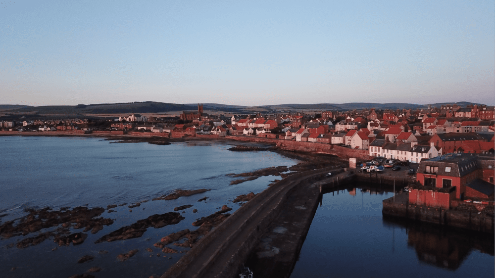
Dunbar is well-connected by rail to Edinburgh and London and birthplace to one of the most influential Scottish immigrants - John Muir. An explorer, naturalist and influential conservationist he is known as ‘Father of the National Parks’, for his role in the establishment of National Parks in the USA. John Muir’s Birthplace in the High Street is now a museum worth visiting. A statue beside the town clock also commemorates Muir, as well as the latest sculpture by Andy Scott, who created the well-known Kelpies in Falkirk. The DunBear on the outskirts of town is only a small detour and worthwhile visiting. Dunbar offers a wide range of accommodation. The recently refurbished Dolphin Inn is a great choice for cyclists, with bright, airy rooms, a retro vintage vibe and secure bike spaces.
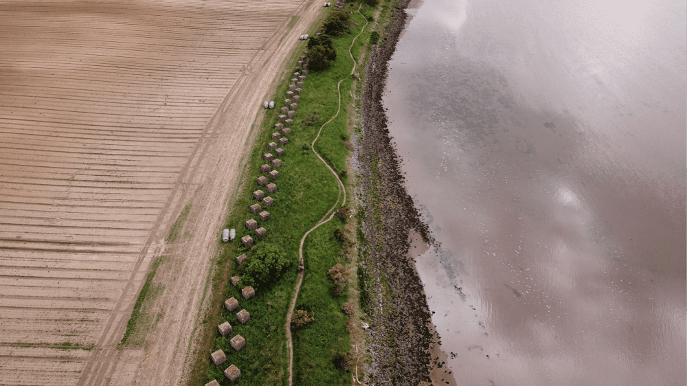
From Dunbar, the route follows mostly the John Muir Way bikepacking route along stunning red sandstone cliffs. Those rock formations are a unique combination of continental drift, volcanic activity and erosion from the sea. Arriving at Belhaven Bay the Belhaven Bridge, known as the ‘Bridge to Nowhere’, is something of a misnomer. At low tide, it is actually used by locals to cross the stream and enter Belhaven Bay beach. However, after the tide comes in, water rushes in and fills the surrounding land, isolating the bridge. Nearby East Links Family Park is a popular weekend destination, while surfers can often be seen at the beaches. From Belhaven Bay, the route overlaps with the Go East Lothian Trail, another Bikepacking Scotland route. The trails here can be sandy at times, and the route crosses a bridge, which requires lifting the bike a set of steps on either side. After passing East Links Family Park the route follows a succession of single trails along the mouth of the River Tyne, also known as Hedderwick Sands. Anti-tank blocks can be seen at several places along the East Lothian coast, but the best examples are right next to the trail here, and later on at Longniddry Bents. Those coastal defences were created along the Forth at the beginning of the Second World War, to provide protection in case of invasion from the sea, and in particular from landing craft with tanks and artillery.
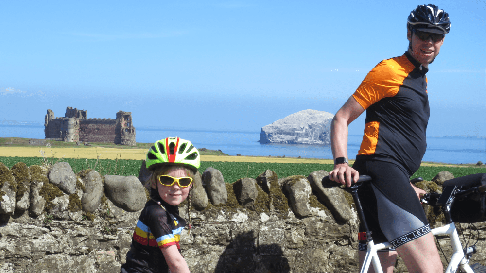
The route rejoins the road soon and passes through Tyninghame. Here the Smithy is a popular stop for cyclists. After a small tarmac road to a carpark the route continues on fine gravel tracks along the coast, passing Ravensheugh Sands and Seacliff Beach, which are amongst the finest beaches in East Lothian. Looking across the Firth of Forth north Bass Rock dominates the view. An island in the outer part of the estuary, this steep-sided volcanic rock, 107 m at its highest point, is home to the world's largest colony of gannets. Boat trips to the Bass are offered regularly in summer, departing from the Scottish Seabird Centre in North Berwick. The Care is needed on the small road from Seacliff Beach, which can get very busy in summer. Shortly afterwards Tantallon Castle, another East Lothian landmark, comes into sight. Following the main road, a stop just after the houses at Auldhame offers the opportunity to see both Bass Rock and Tantallon Castle at once. The road passes Canty Bay, with Drift, another popular cafe, on the right. At Tantallon Caravan Park the route leaves the road again and crosses the golf course, and then follows a succession of roads through the seaside town of North Berwick.
There is no shortage of places to eat, stay or play golf in North Berwick, with views in all directions dominated by the North Berwick Law, an extinct volcano. Mostly flat, the route from here again follows the John Muir Way. Just after leaving Abbotsford Road the route crosses a large field. After being freshly ploughed this can be a rather bumpy track, which gets smoother as the year progresses. The route then follows a succession of singletracks past Yellowcraig Beach and along the coast, passing several more beaches along the route. At times pushing might be required. An alternative to this part of the route is to follow the John Muir Way cycling route from Yellowcraig to Dirleton, to rejoin the Explore Your Boundaries route at Gullane.
From Gullane the route follows the John Muir Way once again, with a great gravel path circumnavigating the golf course, before passing Aberlady Bay Wildlife Reserve on roads and continuing into the small village Aberlady. Ducks Inn is a popular stop for cyclists and offers food and accommodation. A nice single trail through the forest provides excellent riding after Aberlady. Shortly afterwards another set of anti-tank barriers can be seen in the woodland, before the route rejoins the road past Longniddry and into Seton Sands.
The route follows the coast on a mixture of cycle and walking paths. At the edge of Prestonpans the route follows the low tide route of the John Muir Way. Extra care is needed here, as the concrete path is covered in algae on some sections and can be slippery. A short section over a beach is also difficult to ride, but the murals and views make this a nicer route than the alternative on the road through the town (at high tide it’s necessary to head through town). Prestonpans is Scotland's ‘Mural Town’, with many murals depicting local history. Its industrial history can be explored at Prestongrange, a free, family-friendly open-air museum on the site of a former colliery, only a very short detour from the route at Morrison’s Haven.
The last section along the coast not only offers a fantastic gravel path to complete the Explore Your Boundaries experience, it is also a haven for birdwatchers. The track along the sea wall from Morrison's Haven to Goosegreen Road is excellent to observe ducks and other seabirds, and the existing ash lagoons are used as high tide roosts by waders, gulls and terns. The ride finishes at Fisherrow Harbour.
If you enjoyed this route, why not try the following?
Capital Trail
Scottish Outdoor Access Code: know the code before you go
gallery
CaPITAL tRAIL
Summary
The Capital Trail is a proper bikepacking challenge, which offers an amazing variety of singletrack, Land Rover tracks, forest roads and quiet country lanes. In short, it is the very best Scotland’s South has got to offer, with most of the trails rideable in dry conditions. The route starts and finishes at Portobello Beach and features the beautiful Firth of Forth coastline, the River Esk, Carberry Hill, the Winton Estate and the Pencaitland Railway Path, Saltoun Big Woods, the quiet and scenic country lanes of East Lothian, Lammer Law, the Southern Upland Way, Thirlestane Castle, Melrose Abbey, the River Tweed, the Borders Abbey Way, Lindean Loch, Selkirk, the Three Brethren, the 7Stanes trails at Innerleithen and Peebles, Kirkhope Law, the Cross Borders Drove Road, the Meldons and Pentland Hills. And to finish, the Capital Trail offers views of the Scottish Capital Edinburgh you might have not experienced before.
| Suitable for: | Mountain bikes |
| Total distance: | 246 km |
| Total ascent: | 4,020 m |
| Terrain: | A mixture of quiet and busy roads, gravel tracks, singletrack, walking and cycle paths and some sections which have no defined path |
| Access: | Some gates might be locked, small bridges and steps |
| Route Category: | Expert |
| Riding time: | 3 - 4 days |
| Start / Finish: | Portobello Beach, Edinburgh |
| OS Grid Ref: | NT 30289 74453 |
| Getting there by public transport: | Edinburgh is well connected with major cities by train, bikes are free. Tweedbank offers an alternative start/end in the Scottish Borders |
| Key Facilities on Route: | Edinburgh, Musselburgh, Pencaitland, Lauder, Melrose, Selkirk, Innerleithen, Peebles, West Linton |
| OS Landranger Map: | 66/67/72/73/74 |
Route Description
A full route description can be found at bikepackingscotland.com/capitaltrail.
If you enjoyed this route, why not try the following?
Go East Lothian Trail
Scottish Outdoor Access Code: know the code before you go
gallery