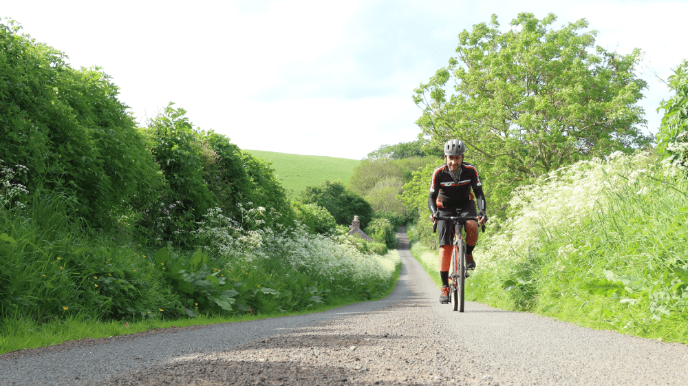
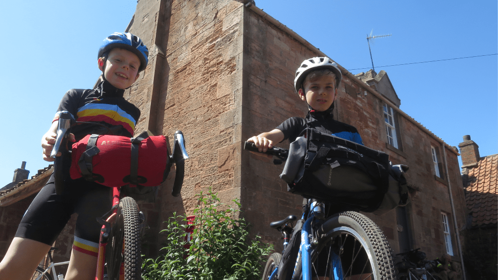
Go Road Cycling
East Lothian has many quiet roads which make it ideal for road cycling and touring bike routes to discover even more of East Lothian on two wheels.
Flight and Flags
Summary
A short road bike loop steeped in history, passing a famous WW1 airfield and the home of Scotland’s national flag.
| Suitable for: | Road bikes |
| Total distance: | 16.4 km |
| Total ascent: | 130 m |
| Terrain: | A mixture of quiet roadss |
| Access: | No gates |
| Route Category: | Straightforward |
| Riding time: | 1 - 2 hrs |
| Start / Finish: | East Linton |
| OS Grid Ref: | NT 59145 77314 |
| Getting there by public transport: | East Linton is served by bus. Please check if local buses carry bikes |
| Key Facilities on Route: | East Linton, National Museum of Flight |
| OS Landranger Map: | 66/67 |

Route Description
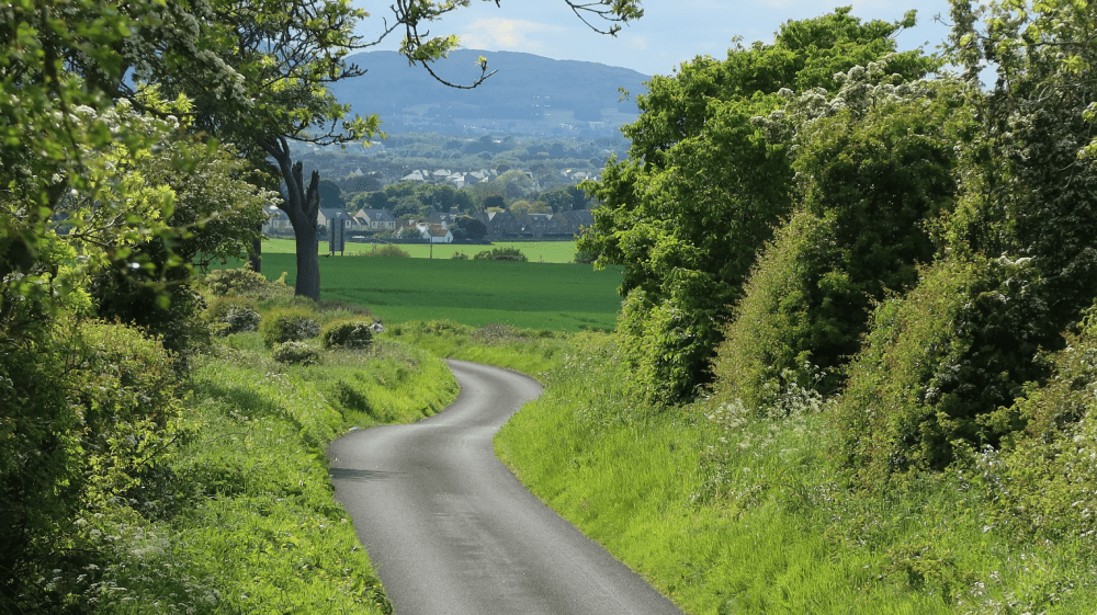
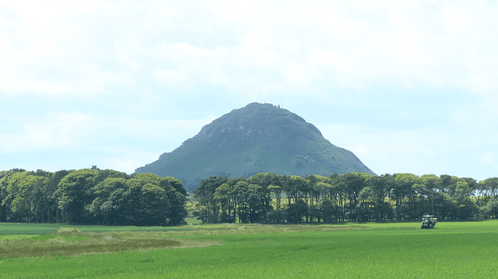
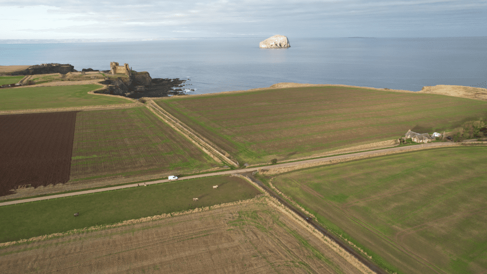
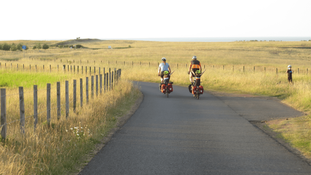
The route starts in East Linton, a small village with shops, cafes and pubs. The route follows the main road north out of the village towards North Berwick - a fairly steep incline, but only for a short distance. At the next opportunity turn left onto the B1377, and then left again onto the B1347, cycling across the old airfield built in 1915 for constructing airships in the First World War. Today this is home to the National Museum of Flight.
After a short detour into the village of Athelstaneford, which is home of the Saltire, Scotland’s national flag. A small exhibition is located within the doocot in the church grounds. After Athelstaneford the route continues to follow the B1347 first, and then on a minor road to Markle and past Markle fisheries and over a railway crossing. Shortly afterwards you rejoin the road into East Linton and back to the start.
If you enjoyed this route, why not try the following?
Coast and Countryside
Scottish Outdoor Access Code: know the code before you go
gallery


Tyneside to Seaside
Summary
| Suitable for: | Road bikes |
| Total distance: | 32.8 km |
| Total ascent: | 230 m |
| Terrain: | A mixture of roads and lanes, with short sections on busier roads |
| Access: | No gates |
| Route Category: | Challenging |
| Riding time: | 2 - 3 hrs |
| Start / Finish: | North Berwick |
| OS Grid Ref: | NT 54675 85227 |
| Getting there by public transport: | North Berwick is served by regular trains from Edinburgh. Bikes are carried for free. |
| Key Facilities on Route: | North Berwick, East Linton |
| OS Landranger Map: | 66/67 |
Route Description
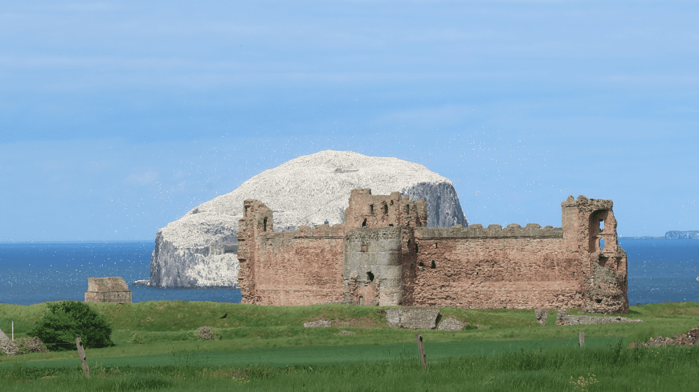
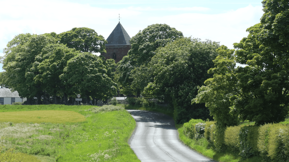
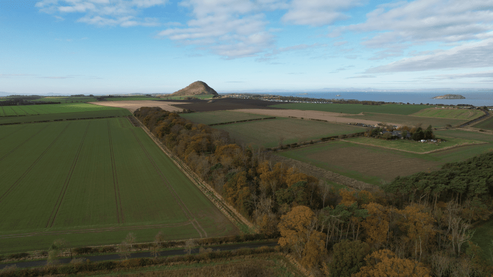
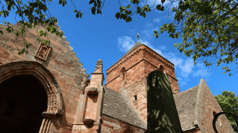
The route starts at North Berwick train station, with frequent connections to Edinburgh. It follows the John Muir Way cycling route along North Berwick’s waterfront, and through the town towards Dunbar. Shortly after the campsite the route takes a right turn and follows a quiet road south. Two detours take you to Tantallon Castle and Seacliff Beach, although the roads there can get very busy in summer. Back on the route, it continues south towards Whitekirk. For a scenic shortcut follow the John Muir Way cycling route, which requires off-road tires. Whitekirk has an impressive church, and from here the route continues on the John Muir Way cycling route past Binning Wood. Leaving the John Muir Way the route takes a right turn past the famous Preston Mill into East Linton. From here the route follows the main road uphill towards North Berwick, passing the impressive North Berwick Law.
If you enjoyed this route, why not try the following?
East Lothian Castle Gran Fondo
Scottish Outdoor Access Code: know the code before you go
gallery


Coast and Countryside
Summary
A loop that connects Barns Ness Lighthouse with the famous Bridge to Nowhere at Belhaven Bay, passing the DunBear, a statue to celebrate John Muir’s legacy, along the way.
| Suitable for: | Road bikes |
| Total distance: | 17.1 km |
| Total ascent: | 100 m |
| Terrain: | A mixture of roads and cycle paths |
| Access: | No gates |
| Route Category: | Straightforward |
| Riding time: | 1.5 - 3 hrs |
| Start / Finish: | Dunbar, John Muir Birthplace |
| OS Grid Ref: | NT 67916 78908 |
| Getting there by public transport: | Dunbar has regular train services from Edinburgh and London, bikes are free but must be reserved on LNER trains, Borders Buses Service 253 (Edinburgh to Berwick-Upon-Tweed via Dunbar) takes bikes for free |
| Key Facilities on Route: | Dunbar, West Barns |
| OS Landranger Map: | 67 |
Route Description
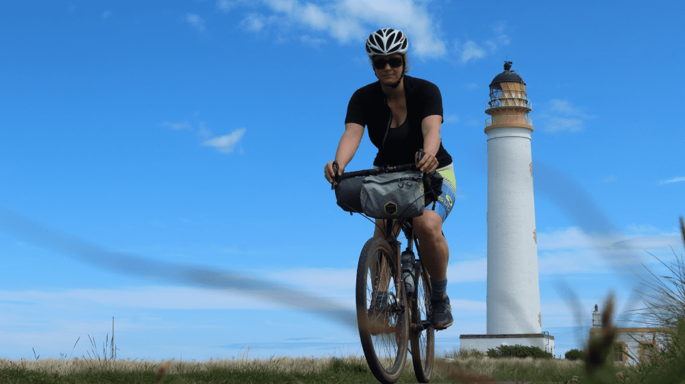
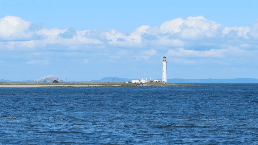
This route starts in Dunbar, home to John Muir. His birthplace in the High Street, now a museum, is the start of this route. Follow NCN 76 south to leave Dunbar by Queen’s Road, on a mixture of off-road cycle paths and marked cycle lanes on the road. After Broxburn take the next left to follow the Broxburn to Whitesands Link, a cycle path towards the coast, and continue on the small road towards the Barns Ness Lighthouse. Return via the same route, but take a left at Broxburn to follow a tarmac road and then a path parallel to the A1, passing DunBear on your right, the latest sculpture from Kelpies creator Andy Scott. This path joins Eweford road into West Barns and to Belhaven Bay. The route follows NCN 76 back into Dunbar.
If you enjoyed this route, why not try the following?
Flight and Flags
Scottish Outdoor Access Code: know the code before you go
gallery


Family Fun
Summary
| Suitable for: | Road bikes |
| Total distance: | 19.8 km |
| Total ascent: | 90 m |
| Terrain: | A mixture of roads and cycle paths |
| Access: | No gates, but a ford or narrow footbridge |
| Route Category: | Straightforward |
| Riding time: | 1.5 - 3 hrs |
| Start / Finish: | East Links Family Park |
| OS Grid Ref: | NT 65156 78596 |
| Getting there by public transport: | Dunbar has regular train services from Edinburgh and London, bikes are free but must be reserved on LNER trains, Borders Buses Service 253 (Edinburgh to Berwick-Upon-Tweed via Dunbar) takes bikes for free |
| Key Facilities on Route: | East Links Family Park, Tyninghame |
| OS Landranger Map: | 67 |
Route Description
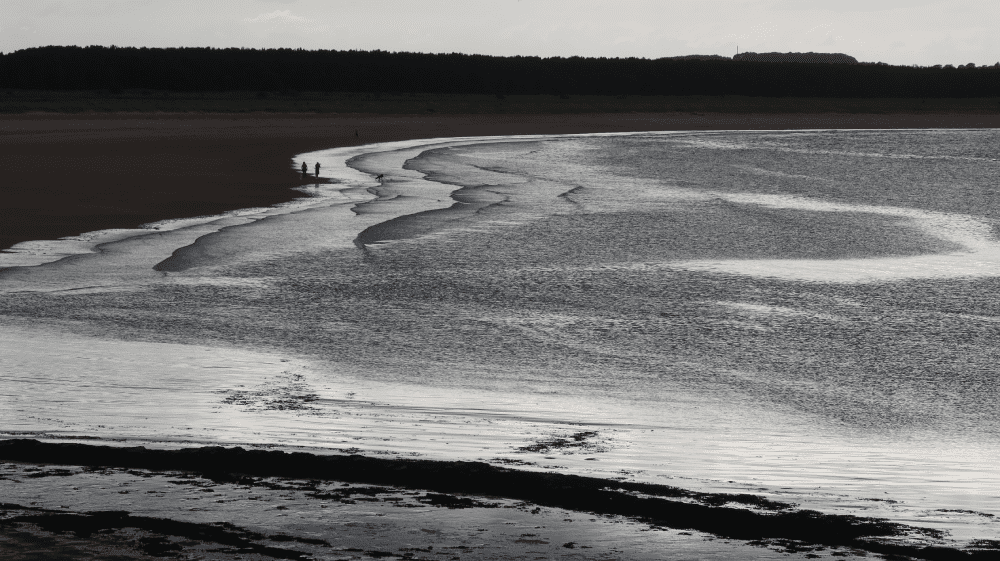
The route starts at East Links Family Park, a popular family destination in East Lothian. For those using public transport, the start can also be reached by using NCN 76 from Dunbar train station to East Links. Follow NCN 76 first. After crossing the A198 take the next right towards the River Tyne. This is also the route of the John Muir Way cycling route. Take the next right to follow a road into Tyninghame, where the Tyninghame Smithy is a popular stop for cyclists. From here the route follows a section of the A198 and then a small road towards the car park at Tyninghame Beach. This section can be very busy, extra care is needed. The route returns via the same route, but then passes Tyninghame village on the A198 and takes the John Muir Way cycling route back to East Links Family Park. For those on suitable bikes looking for an off-road adventure, the John Muir Way walking route is a great alternative back to East Links, but can be sandy at times.
If you enjoyed this route, why not try the following?
Birthplace of the Industrial Revolution
Scottish Outdoor Access Code: know the code before you go
gallery


East Lothian Castle Gran Fondo
Summary
| Suitable for: | Road bikes |
| Total distance: | 105 km |
| Total ascent: | 840 m |
| Terrain: | A mixture of quiet B-roads and lanes, with short sections on busier roads |
| Access: | No gates |
| Route Category: | Expert |
| Riding time: | 5 - 8 hrs |
| Start / Finish: | Preston Tower, Prestonpans |
| OS Grid Ref: | NT 39015 74068 |
| Getting there by public transport: | Prestonpans Station is on the Edinburgh - North Berwick railway line, bikes are carried free of charge |
| Key Facilities on Route: | Prestonpans, Longniddry, Dirleton, North Berwick, East Linton, Garvald, Gifford, Pencaitland, Tranent, Wallyford |
| OS Landranger Map: | 66/67 |
Route Description
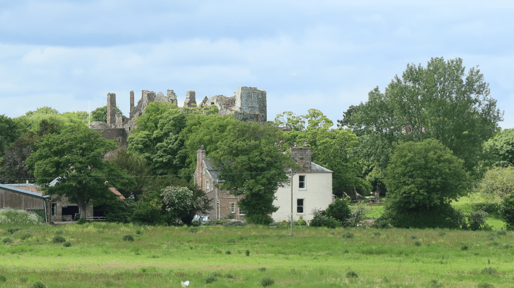
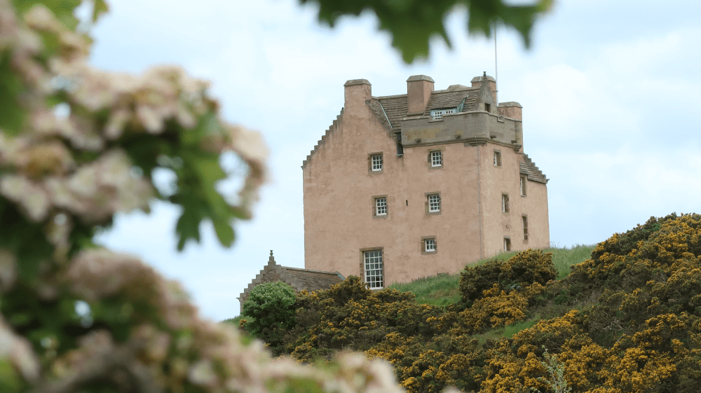
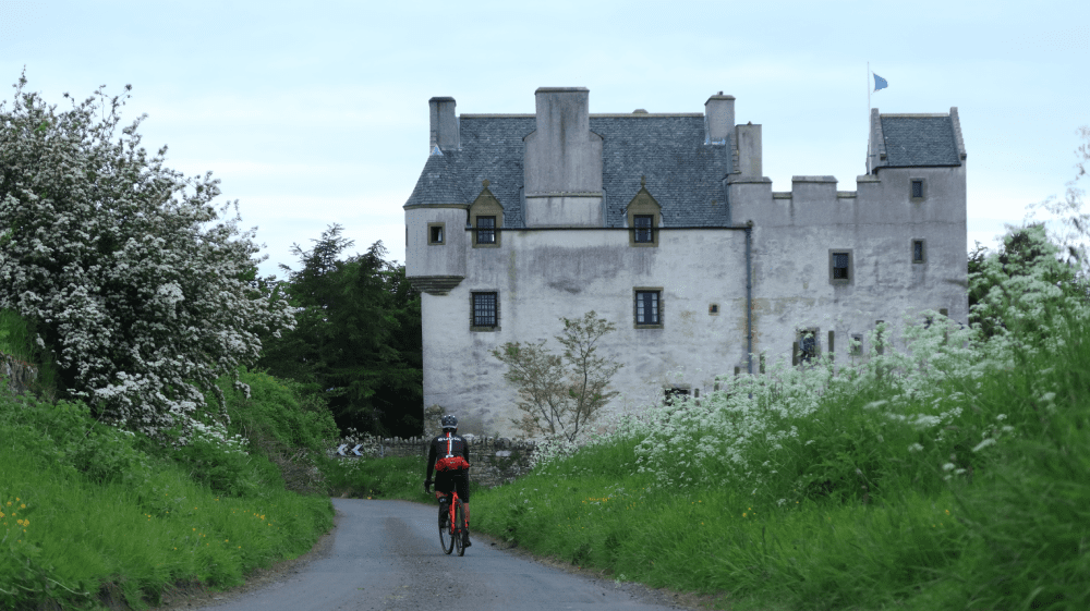
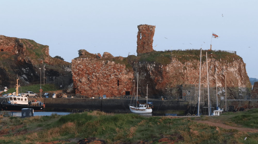
The route starts at Preston Tower, a ruined L-plan keep in the ancient Scottish village of Prestonpans. From here it follows the beautiful coast through Cockenzie and Port Seton. In Longniddry the route heads inland, running parallel to the railway line for a while before it passes Redhouse Castle near Spittal, a ruined tower house castle. On the right, Ballencrieff Castle, also known as Ballencrieff House, is a large tower house, which can be spotted from the road. Shortly afterwards the route takes a left towards Luffness, passing Myreton Motor Museum. Although the name doesn’t suggest it, bikes are also part of its small collection. Luffness Castle, also known as Luffness House, can be seen taking a short detour on the coastal road towards Aberlady. The route takes a quieter route through West Fenton, and at Fenton Barns, a B-road is joined towards Dirleton. A medieval fortress in the village of Dirleton, the oldest parts of the castle date to the 13th century, and it was abandoned by the end of the 17th century. The castle is open to the public to visit and a good place for a first stop.
From Dirleton the route heads south towards Kingston, joining the B1347 past Fenton Tower and into the popular seaside town North Berwick. The coast once again provides a stunning backdrop to the ride here, while Tantallon Castle is clearly visible soon after leaving North Berwick on the horizon. The route follows the A198, which can get busy at times, but the views are simply stunning. In Whitekirk the route leaves the main road, and after about 3 km (2 miles) passes the remains of Waughton Castle, dating from the fourteenth century. The route follows the B1377 into East Linton, which is another good place for a stop and almost the half-way point.
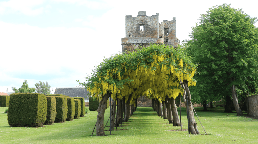
The riding gets much tougher from here on, as the route first passes Hailes Castle, a scheduled monument open to the public, in a superb riverside setting. The first major climb of the route heads to Traprain Law, site of the Traprain Law Treasure, the largest Roman silver hoard from anywhere outside the Roman Empire which included exquisite silver artefacts. Heading towards the Lammermuir Hills the route passes Whittingehame Tower, or Whittingehame Castle, a fifteenth-century tower house. Next up is Stoneypath Tower, an L-plan tower house dating from the late sixteenth century, which can be clearly seen from the road. The route undulates on the southern edge of the Lammermuir Hills through Garvald, Carfrae, Danskine and Newmills, passing Yester Castle and the edges of Gifford, with its famous Lanterne Rouge cafe worth a detour.
Wester Saltoun Hall between East Saltoun and Pencaitland is neither visible nor accessible from the road, but the entrance to Winton Castle is nearly as impressive as the castle, which is a private venue these days. The route passes the Tower Inn in Tranent before following quiet roads to Fa'side Castle, a fifteenth-century keep that provides stunning views over the Firth of Forth. From here a fast descent follows, before the route returns via Wallyford back to the start in Prestonpans.
If you enjoyed this route, why not try the following?
Tyneside to Seaside
Scottish Outdoor Access Code: know the code before you go
gallery