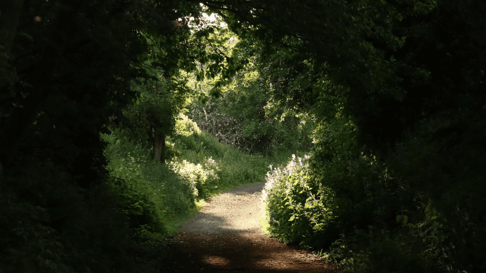
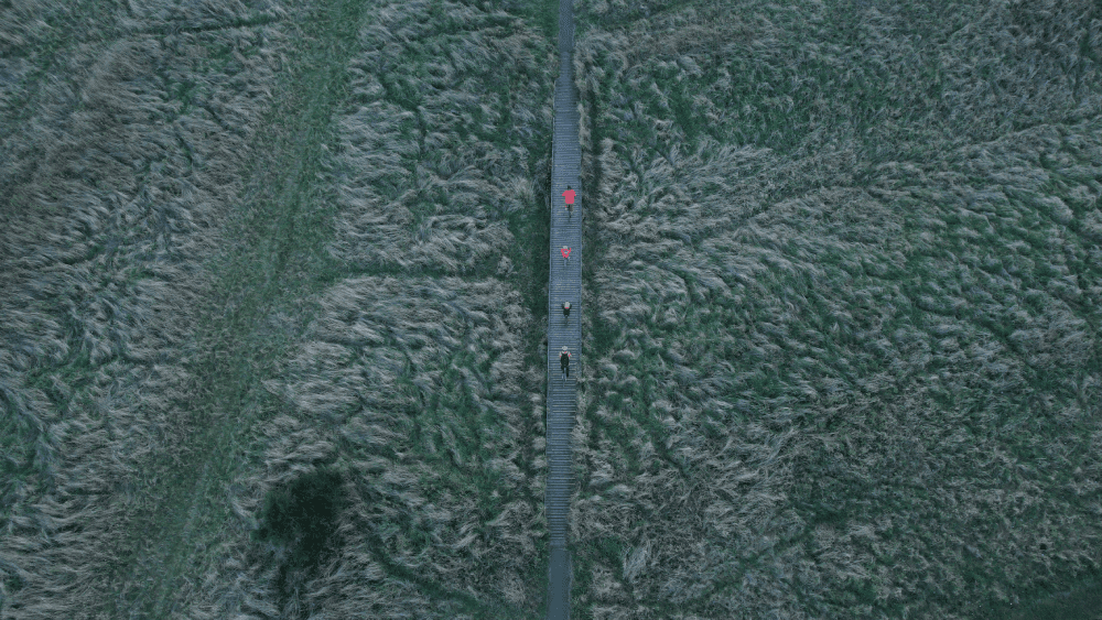
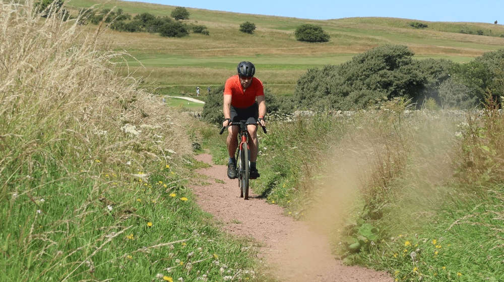
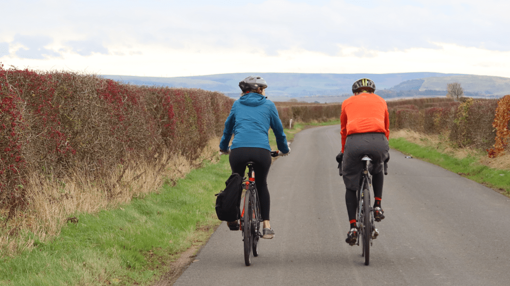
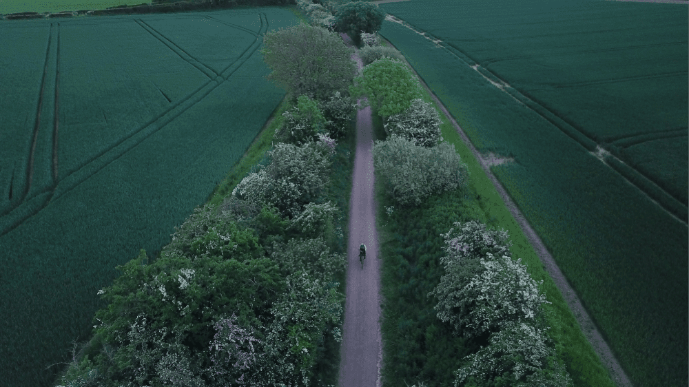
Go Biketouring
There are so many great routes throughout East Lothian that take you on a journey of discovery. Follow coastal trails and inland routes and uncover a rich heritage and enjoy some of the best views around as you Go Biketouring.
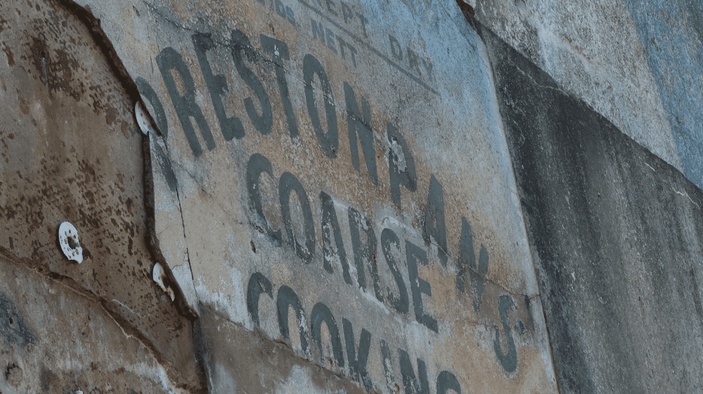
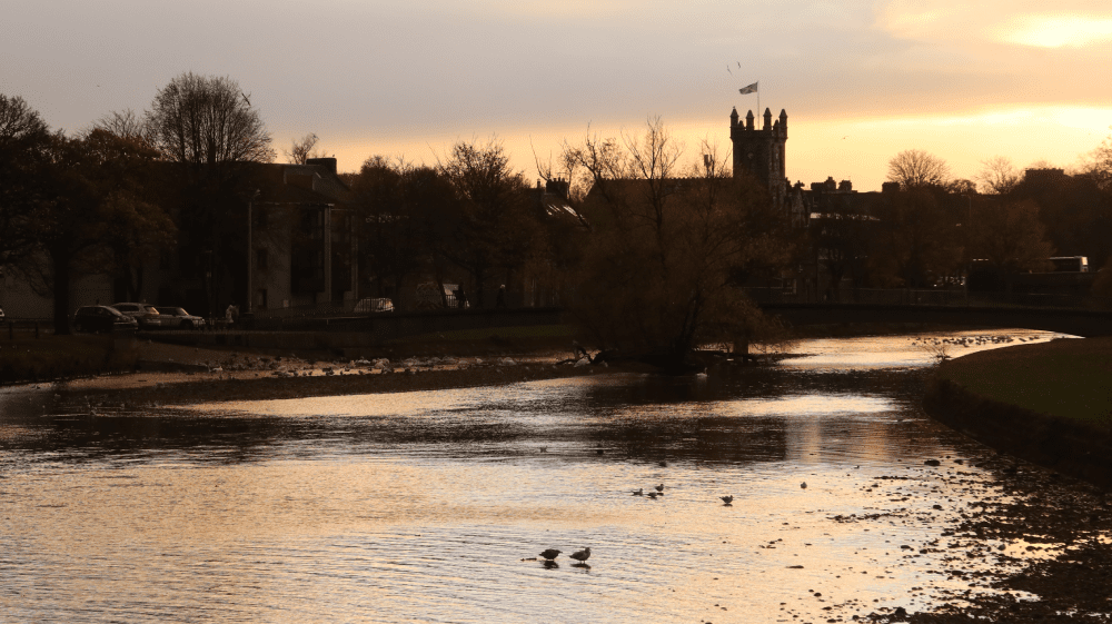
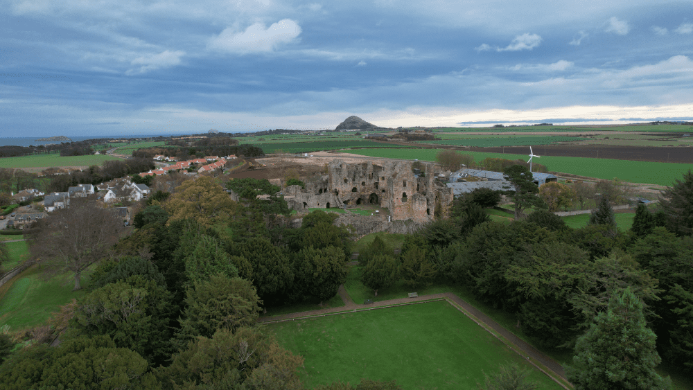
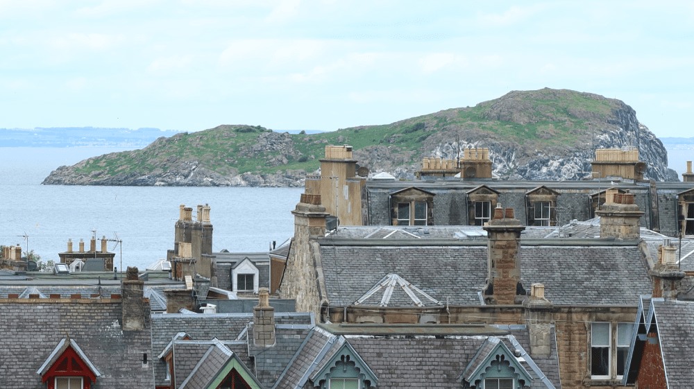
Birthplace of the Industrial Revolution
Summary
| Suitable for: | Touring and gravel bikes |
| Total distance: | 43.6 km |
| Total ascent: | 310 m |
| Terrain: | A mixture of cycle paths, gravel paths, roads and lanes, with short sections on busier roads |
| Access: | Some gates or narrow bridges |
| Route Category: | Challenging |
| Riding time: | 3 - 5 hrs |
| Start / Finish: | Musselburgh |
| OS Grid Ref: | NT 33991 72438 |
| Getting there by public transport: | Musselburgh is served by trains from Edinburgh, bikes are free |
| Key Facilities on Route: | Musselburgh, Whitecraig, Ormiston, Pencaitland, East Saltoun, Tranent, Prestonpans |
| OS Landranger Map: | 66 |

Route Description
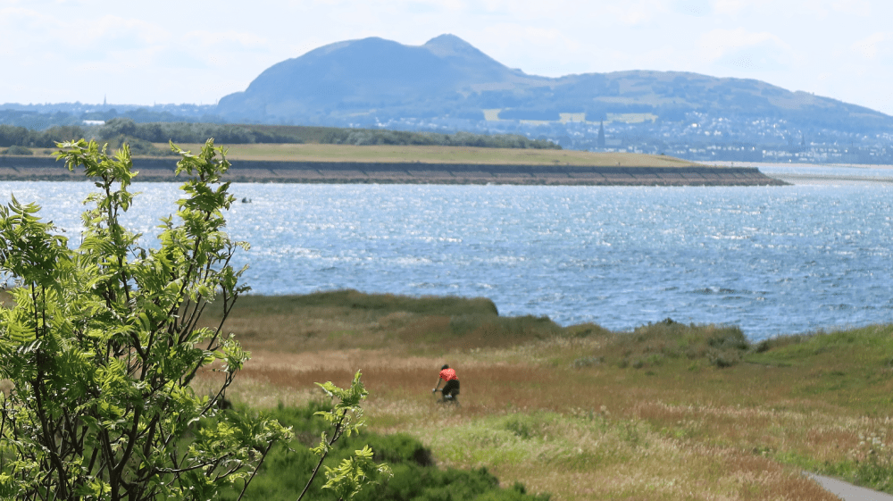
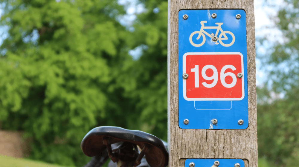
The route starts in Musselburgh at the Old Roman bridge car park, next to the River Esk. From here follow the signs for the River Esk Path and continue on this trail along the riverbank all the way to Whitecraig. At Whitecraig follow the signs for cycle route NCN1, which lead onto a nice cycle path. Follow this path until a sign on the left for the Pencaitland Railway Walk (NCN 196). The route follows a path and then a short section on the A6124, and soon leads to the Railway Walk on the left, where the surface changes from tarmac to gravel. Follow this path all the way past Ormiston and Pencaitland. Both villages are only a short distance off the route and provide places to eat and shop. Shortly before the end of the Pencaitland Railway Walk, a small road leads to Glenkinchie Distillery, a worthwhile detour. Returning from the distillery the route continues on the road to West Saltoun and on to East Saltoun, which has a shop. From here it is a great downhill ride back towards Pencaitland. After continuing straight over the first junction turn right at the next towards Boggs Holdings. Carry on through the hamlet and follow the road until the road veers sharply to right. Continue straight here, passing an industrial estate to your right. You can enjoy great views across the Firth of Forth from here.
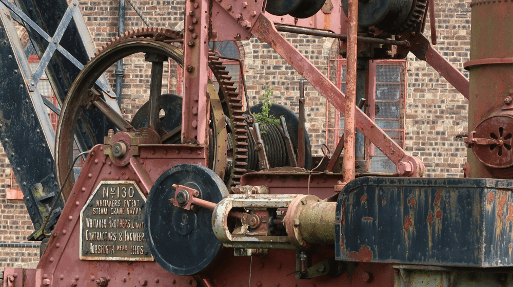
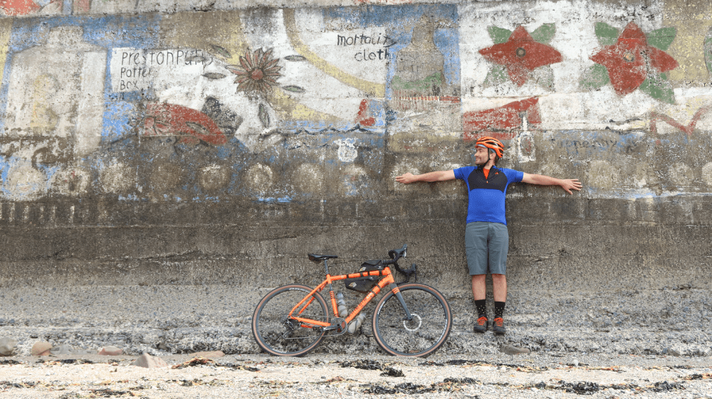
Turn left onto the A199 and continue through Macmerry and onto Tranent. This road can be busy but there is a cycle path all the way to Tranent, which offers places to eat and drink as well as shops. Follow the High Street and cross over the roundabout, and then over to the left on the Elphinstone Road. Then go right under the bridge next to The Brig Inn and onto the Heugh pathway. Once at the path, follow this into Prestonpans - Scotland’s mural town. You will pass the site of the Battle of Prestonpans and Preston Tower, before joining the John Muir Way at the historic pub The Goth, with a mural of John Muir. Following the John Muir Way (NCN76) you pass Prestongrange Museum, a worthwhile stop to discover the industrial history of East Lothian, before enjoying a short cycle along the coast and along the river back into Musselburgh.
If you enjoyed this route, why not try the following?
Golf Coast!
Scottish Outdoor Access Code: know the code before you go
gallery


Golf Coast!
Summary
A great introduction to cycling in East Lothian, passing castles, beaches and of course, world-famous golf courses!
| Suitable for: | Touring and gravel bikes, gravel sections can be avoided by using roads |
| Total distance: | 31.2 km |
| Total ascent: | 150 m |
| Terrain: | A mixture of cycle paths, gravel paths, roads and lanes, with short sections on busier roads |
| Access: | Some gates or narrow bridges |
| Route Category: | Straightforward |
| Riding time: | 3 - 4 hrs |
| Start / Finish: | North Berwick |
| OS Grid Ref: | NT 55442 85326 |
| Getting there by public transport: | BNorth Berwick is served by trains from Edinburgh, bikes are free |
| Key Facilities on Route: | North Berwick, Dirleton, Gullane, Aberlady, Fenton Barns |
| OS Landranger Map: | 66 |
Route Description
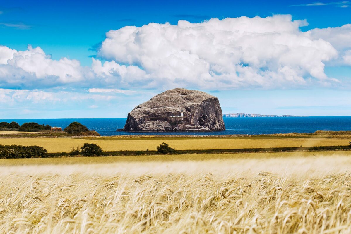
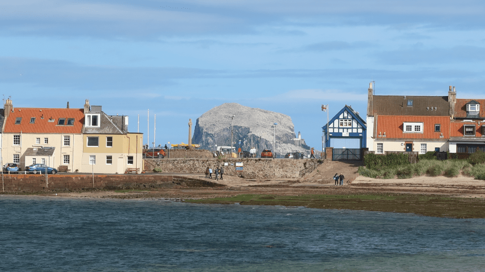
The route starts on the High Street in the seaside town of North Berwick, which offers great places to eat, shop and attractions like the Scottish Seabird Centre and boat trips to Bass Rock and the islands in the Firth of Forth in summer. It first follows the busy A198 out of town, and then a cycle path at the edge of North Berwick to Dirleton. A short and worthwhile detour takes you to Yellowcraig Beach, with views across to the island of Fidra, which provided the inspiration for Robert Louis Stevenson’s Treasure Island.
The castle in Dirleton is worth a visit, complete with the longest herbaceous border in the world. Follow the John Muir Way cycle route for a while out of Dirleton on a mixture of gravel and tarmac paths, before the route meets the A198 again into Gullane. Gullane is not only a golfer’s paradise, with courses on either side of the route, including the famous Muirfield, but also offers a great beach and places to eat. The route continues on the John Muir Way past another golf course and rejoins the A198 towards Aberlady, past a local nature reserve. From Aberlady the route heads back towards North Berwick by a quiet road, skirting past West Fenton across the B1345 (take care on this short section) past the Fenton Barns retail village, with farm shop and cafe and various shops. From here follow the road signposted towards Kingston, where you will see Fenton Tower, available to rent and also home to Archie, the inventor from the popular children’s series Balamory. In Kingston, turn left down a narrow road towards Newhouse Farm, downhill all the way back to North Berwick passing Gilsland Caravan Park, with panoramic views across to Fife.
If you enjoyed this route, why not try the following?
Birthplace of the Industrial Revolution
Scottish Outdoor Access Code: know the code before you go
gallery


Round the Foothills
Summary
A pleasant cycling loop round the foothills of East Lothian, with an opportunity to stop at one of Scotland’s best cycling cafes.
| Suitable for: | Touring and gravel bikes |
| Total distance: | 35.9 km |
| Total ascent: | 280 m |
| Terrain: | A mixture of cycle paths, gravel paths, roads and lanes, with short sections on busier roads |
| Access: | Some gates |
| Route Category: | Challenging |
| Riding time: | 3 - 4 hrs |
| Start / Finish: | Haddington |
| OS Grid Ref: | NT 51372 73884 |
| Getting there by public transport: | Haddington is served by bus. Borders Buses Service 253 (Edinburgh to Berwick-Upon-Tweed via Haddington) takes bikes for free |
| Key Facilities on Route: | Haddington, Longniddry, Gifford |
| OS Landranger Map: | 66 |
Route Description
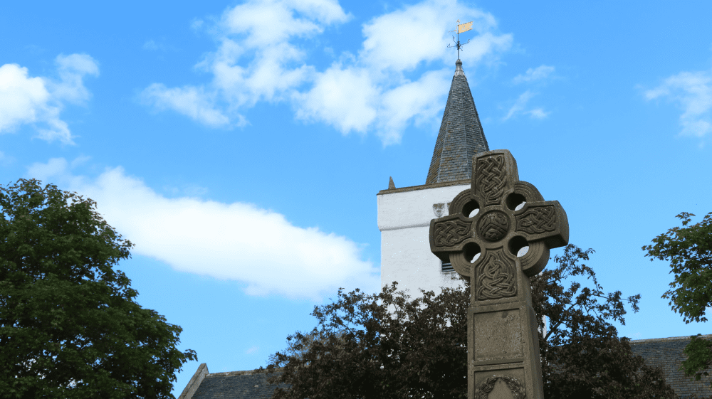
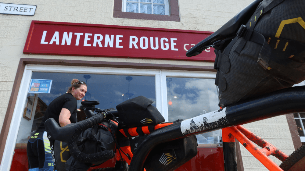
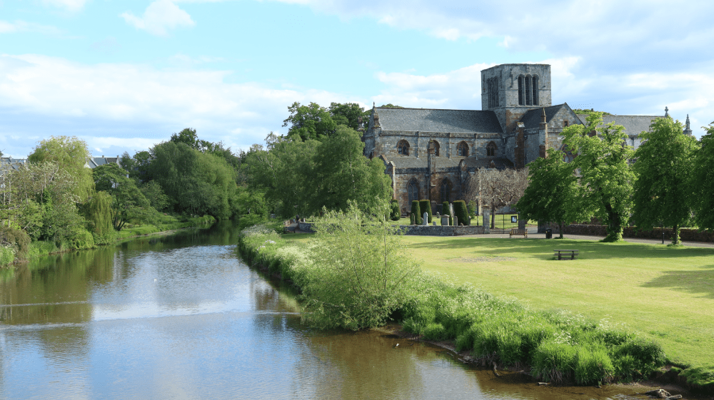
This route starts and finishes in Haddington, the main administrative, cultural and geographical centre for East Lothian. The route follows Court Street and West Road out of Haddington, and then joins the Longniddry Railway Path for the next section, a great gravel path following a former railway line. The route passes the railway station in Longniddry (still in use) and joins the A199 for a short while. After a left turn underneath the railway line, it follows the Coal Road and then takes the next right, eventually crossing over the A1 and continuing towards Bolton. The route continues into Gifford, home of the famous Lanterne Rouge cycling cafe and other places for food. With a left turn at the church, the route follows the main road all the way back to Haddington, until you see a sign for Nungate. This road then leads on NCN 76 to the east of Haddington, past the golf course and old remains of St Martin’s Kirk and on a cycle path along the river back to the start.
If you enjoyed this route, why not try the following?
Circular Tour
Scottish Outdoor Access Code: know the code before you go
gallery


Rivers and Castles
Summary
Connecting Haddington with a 14th century castle and the birthplace of Scotland’s national flag, the Saltire, this is a great day out on the bike.
| Suitable for: | Touring and gravel bikes, section on gravel path can be bypassed on the road |
| Total distance: | 24.7 km |
| Total ascent: | 200 m |
| Terrain: | A mixture of cycle paths, gravel paths, roads and lanes, with short sections on busier roads |
| Access: | No gates |
| Route Category: | Straightforward |
| Riding time: | 2 - 3 hrs |
| Start / Finish: | Haddington |
| OS Grid Ref: | NT 51372 73884 |
| Getting there by public transport: | Haddington is served by bus. Borders Buses Service 253 (Edinburgh to Berwick-Upon-Tweed via Haddington) takes bikes for free |
| Key Facilities on Route: | Haddington, East Linton |
| OS Landranger Map: | 66 |
Route Description
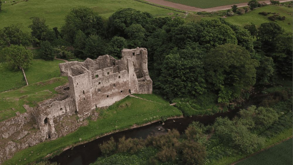
This loop starts and finishes in Haddington, the main administrative, cultural and geographical centre for East Lothian. From the town centre, it follows a cycle path along the River Tyne and then joins NCN 76 past Hailes Castle. This mainly 14th century castle has a fine riverside setting, belonging to the Hepburn family during the most important centuries of its existence. It is open to the public without charge. The route continues on the Sustrans route into East Linton, which is a great location for a stop with several shops, a couple of pubs and cafes.
Following the main road through the village uphill towards North Berwick first, the route takes the next left towards Markle. After another right turn, the route continues into Athelstaneford, home of the Saltire, the Scottish national flag. Follow the B1343 and then take a left turn onto the A6137 – which can get busy at times. After a short climb over the Garleton Hills, the route descends back into Haddington.
If you enjoyed this route, why not try the following?
Round the Foothills
Scottish Outdoor Access Code: know the code before you go
gallery


Circular Tour
Summary
A loop that uses NCN 196 and NCN 76 to connect two stunning cycle paths on two disused railway lines.
| Suitable for: | Touring and gravel bikes |
| Total distance: | 52.8 km |
| Total ascent: | 300 m |
| Terrain: | A mixture of cycle paths, gravel paths, roads and lanes, with short sections on busier roads |
| Access: | Some gates or narrow bridges |
| Route Category: | Challenging |
| Riding time: | 3 - 5 hrs |
| Start / Finish: | Musselburgh |
| OS Grid Ref: | NT 33991 72438 |
| Getting there by public transport: | Musselburgh is served by trains from Edinburgh, bikes are free |
| Key Facilities on Route: | Musselburgh, Whitecraig, Ormiston, Pencaitland, East Saltoun, Haddington, Longniddry, Port Seton, Prestonpans |
| OS Landranger Map: | 66 |
Route Description
The route starts in Musselburgh at the Old Roman bridge car park, next to the River Esk. From here follow the signs for the River Esk Path and continue on this trail along the riverbank all the way to Whitecraig. At Whitecraig follow the signs for cycle route NCN 1, which lead onto a nice cycle path. Continue on this path until you see a sign on the left for the Pencaitland Railway Walk (NCN 196) and follow this. The route continues on a path and then a short section on the A6124, and soon leads to the Railway Walk on the left, where the surface changes from tarmac to gravel. Follow this path all the way past Ormiston and Pencaitland. Both villages are only a short distance off the route and provide places to eat and shop. Shortly before the end of the Pencaitland Railway Walk, a small road leads to Glenkinchie Distillery, a worthwhile detour. Returning from the distillery the route continues on NCN 196 on the road to West Saltoun and on to East Saltoun, which has a shop. Continue to follow the signposted cycle route towards Haddington. The route leaves the road and passes a small bridge over the River Tyne, and follows the banks of the river into town. Take a left turn at Mikes Bikes and follow NCN 76 through town, and on the Longniddry Railway Path to Longniddry. Continue on NCN 76 towards the coast, and follow the Sustrans through Port Seton and Prestonpans, Scotland’s mural town. Join the John Muir Way, passing the historic pub The Goth, with a mural of John Muir. Following the John Muir Way (NCN 76) you pass Prestongrange Museum, a worthwhile stop to discover the industrial history of East Lothian, before enjoying a short cycle along the coast and along the river back into Musselburgh.
If you enjoyed this route, why not try the following?
East Lothian Castle Gran Fondo
Scottish Outdoor Access Code: know the code before you go
gallery