John Muir Way - Day Trips
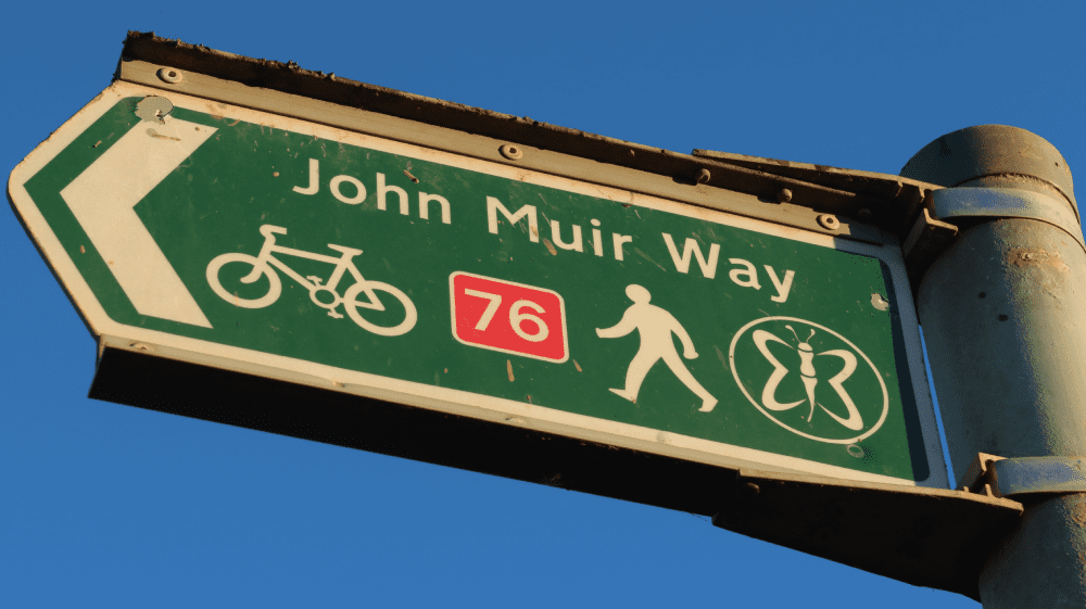
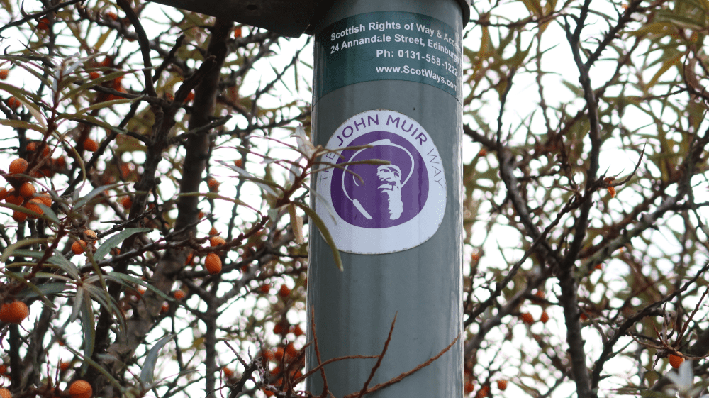
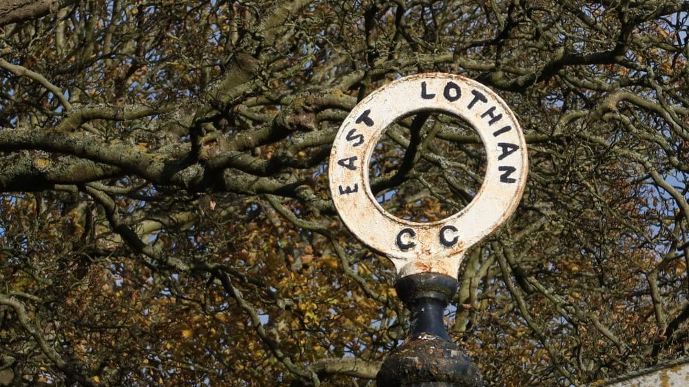
The John Muir Way is a 134mile (215km) coast to coast long-distance walking and cycling route. It stretches from Helensburgh in the West of Scotland to Dunbar in the East. Dunbar is the birthplace of John Muir the renowned environmentalist, conservationist and father of America's National Parks after whom the route is named. The East Lothian sections offer so much to see and do along the way. Pass through beautiful countryside and coastal towns and villages, enjoy the views, take the time to refuel in local eating places or visit an attraction.
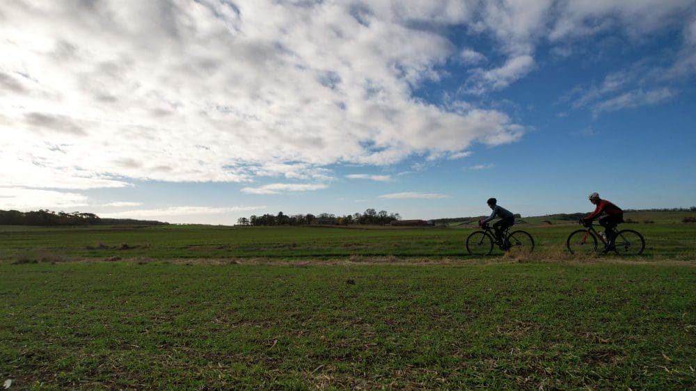
North Berwick Circular
Summary
An adventure along the stunning coast west of North Berwick, passing a medieval fortress and an extinct volcano.
| Suitable for: | Touring and gravel bikes |
| Total distance: | 22.2 km |
| Total ascent: | 130 m |
| Terrain: | A mixture of cycle paths, gravel paths, singletrack, roads and lanes, with short sections on busier roads |
| Access: | Some gates or narrow bridges |
| Route Category: | Straightforward |
| Riding time: | 2.5 - 4 hrs |
| Start / Finish: | North Berwick Train Station |
| OS Grid Ref: | NT 54680 85221 |
| Getting there by public transport: | North Berwick is served by trains from Edinburgh, bikes are free |
| Key Facilities on Route: | North Berwick, Dirleton |
| OS Landranger Map: | 66 |

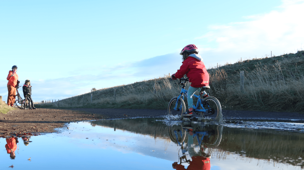
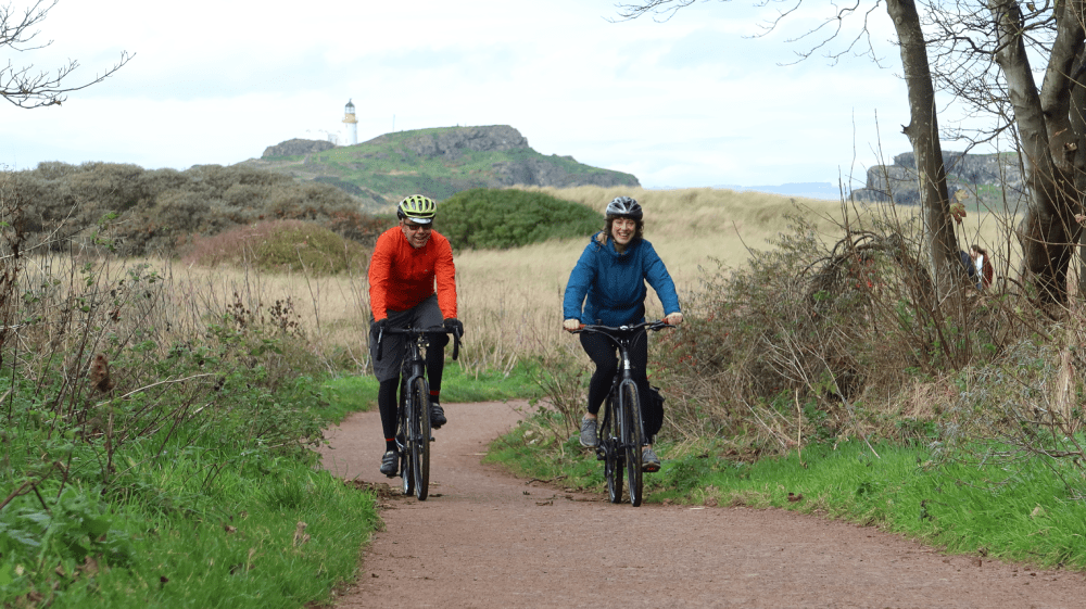
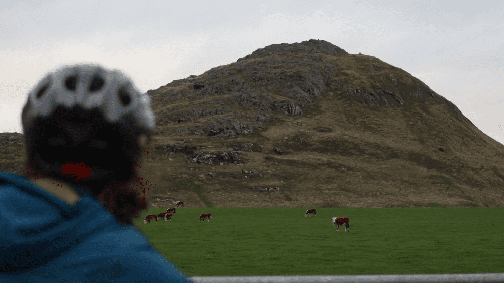
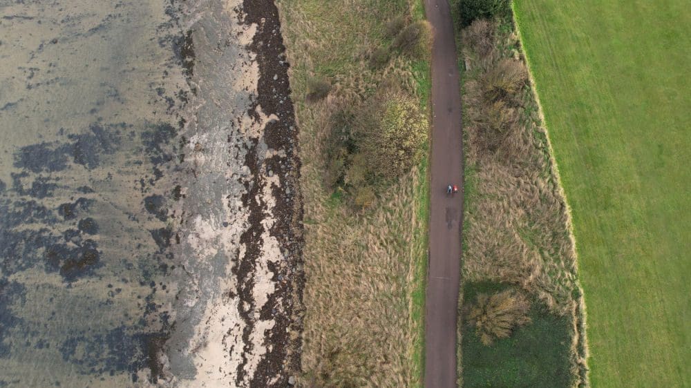
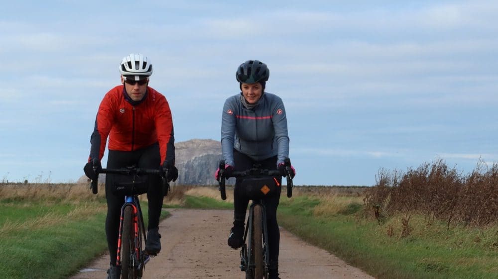
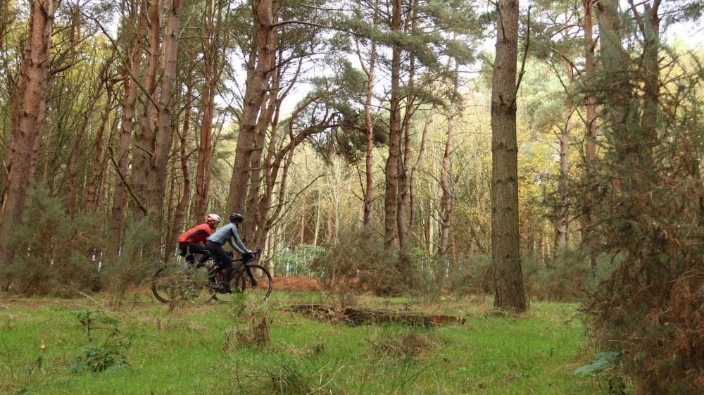
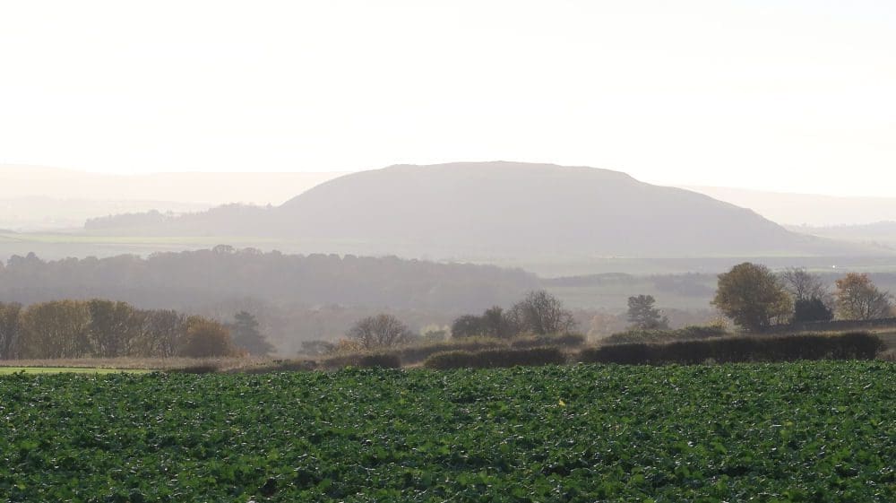
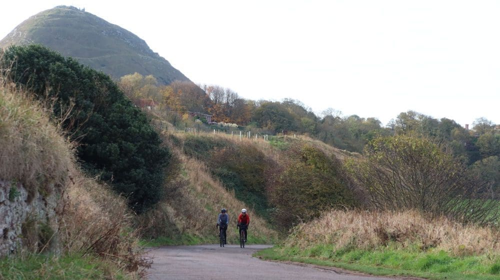
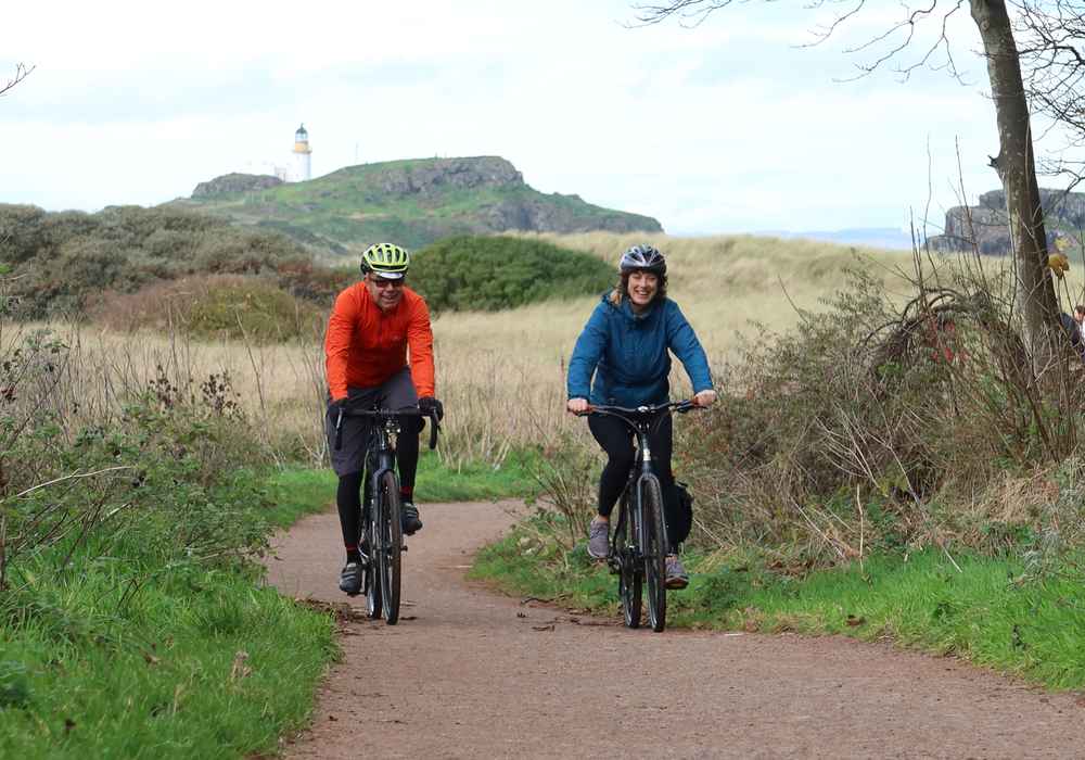
Starting at North Berwick Station, the route follows residential streets through town first, and then joins the John Muir Way at the golf course. After a short section on gravel, Abbotsford Road is followed out of town. The route continues on the John Muir Way to Yellowcraig Beach, which provides a great place to stop to watch the gannets feeding in spring/summer, or to enjoy the impressive pine trees along the way. From Yellowcraig a short section on a woodland path is followed by another gravel track to Dirleton, with a castle, pubs and a church, all worth a visit. From here the route crosses the A198, which can get very busy, so extra care is needed. The route continues on quiet tarmac roads south and then east, to rejoin the John Muir Way at Craigmoor Wood. A flowy trail winds itself through the woodland and further on to East Wood, from where the scenery becomes very open, with North Berwick Law, a conical hill that rises from the surroundings and overlooks the East Lothian landscape, dominating the view. This is a worthwhile detour on foot for the views. Although there is an opening in the wall just before the Law, for most bikes this will be too narrow and bikes need to be lifted over the wall. For heavy bikes, instead of taking the track, continue on Haddington Road into North Berwick and rejoin the route. The route follows the John Muir Way into North Berwick and finishes at the railway station.
If you enjoyed this route, why not try the following?
Tantallon & Seacliff Circular
Scottish Outdoor Access Code: know the code before you go
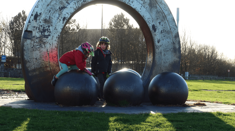
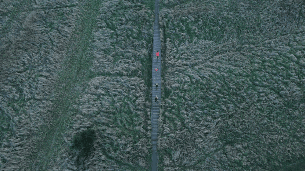
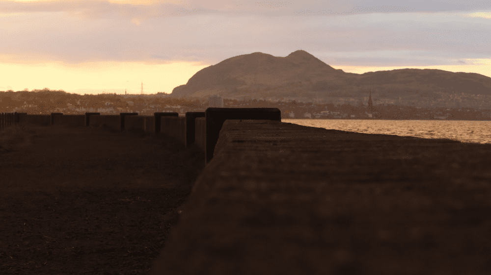
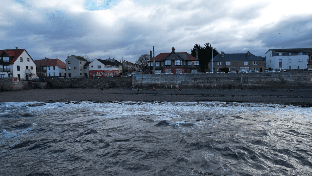
gallery


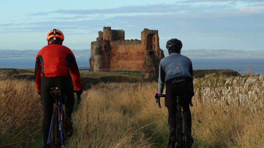
Tantallon & Seacliff Circular
Summary
A very scenic loop that offers great on and off road riding along the stunning coast to the east of North Berwick.
| Suitable for: | Touring and gravel bikes |
| Total distance: | 22.2 km |
| Total ascent: | 130 m |
| Terrain: | A mixture of cycle paths, gravel paths, singletrack, roads and lanes, with short sections on busier roads |
| Access: | Some gates or narrow bridges |
| Route Category: | Challenging |
| Riding time: | 2.5 to 4 hours |
| Start / Finish: | North Berwick, Scottish Seabird Centre |
| OS Grid Ref: | NT 55400 85516 |
| Getting there by public transport: | North Berwick is served by trains from Edinburgh, bikes are free. |
| Key Facilities on Route: | North Berwick, Canty Bay |
| OS Landranger Map: | 66/67 |
Route Description
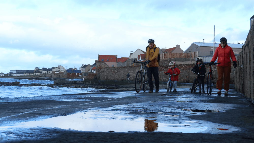
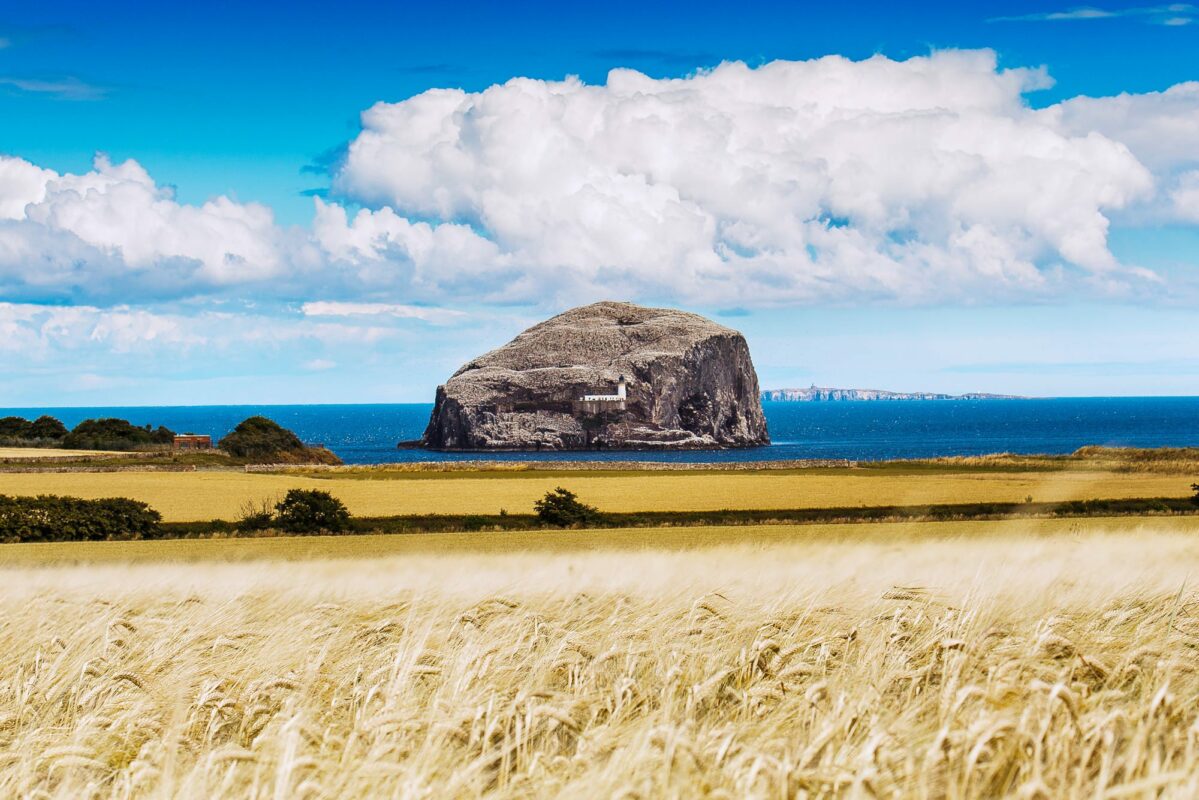
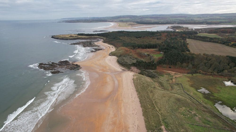
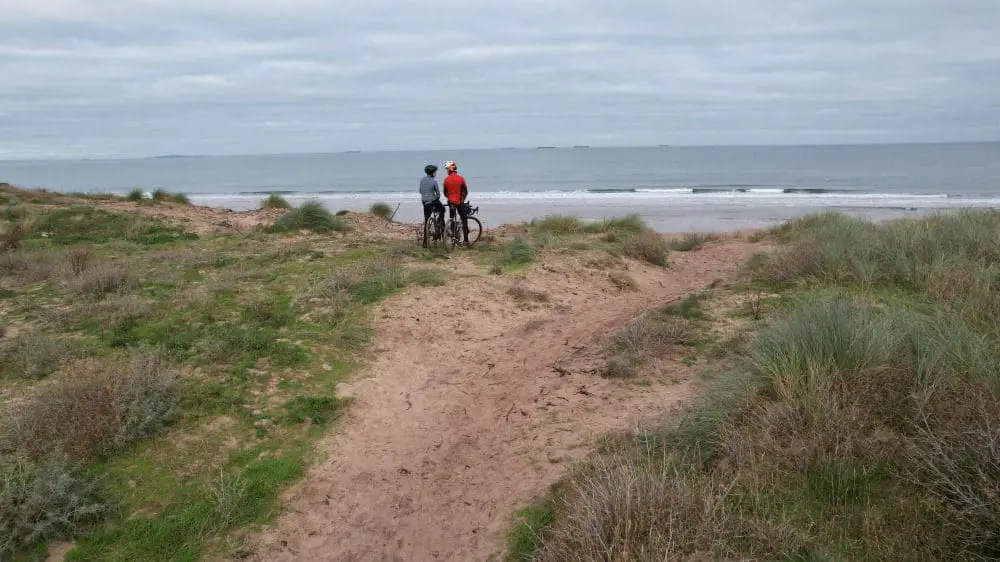
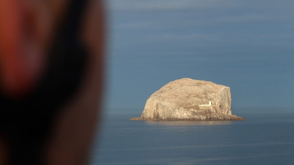
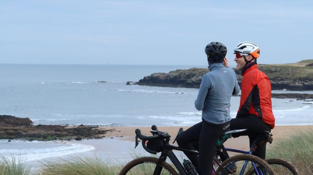
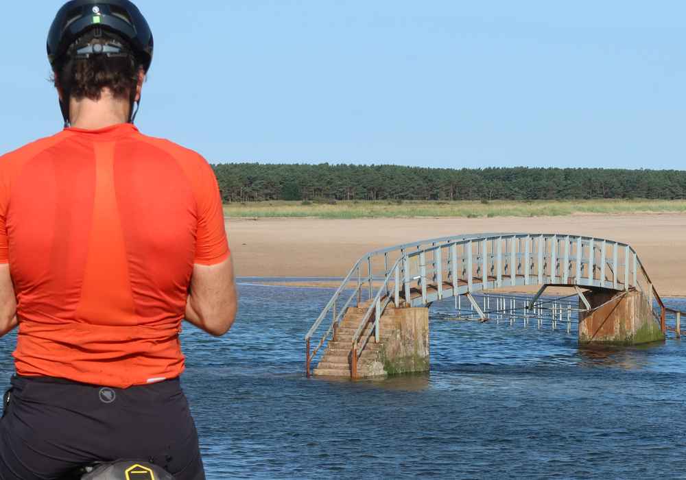
Starting at the Scottish Seabird Centre in North Berwick, the route follows the coastal road to a car park and then follows a track across the golf course, to meet the main road to Dunbar at Tantallon Caravan and Camping Park. From here the John Muir Way cycling route is followed to Whitekirk, first on a small road and then on a grassy track across Becky's Strip, which provides fantastic views. Whitekirk’s St Mary's Church is one of the best preserved small medieval churches in Scotland. From here the route follows the A198 for a short section, and then heads towards the coast on a mix of gravel tracks and roads through Brownrig Wood to Ravensheugh Sands, an impressive sandy beach. The route follows the coast past Scoughall and Seacliff, and then leaves the coast again on a farm track towards Tantallon Castle. Bass Rock can be seen in the distance along the way. Passing Tantallon Castle the route rejoins the road passing Canty Bay, where DRIFT cafe offers a last place to stop before the route follows a last section of singletrack through The Glen and back to the start.
If you enjoyed this route, why not try the following?
Two Harbours Circular
Scottish Outdoor Access Code: know the code before you go
Two Harbours Circular
Summary
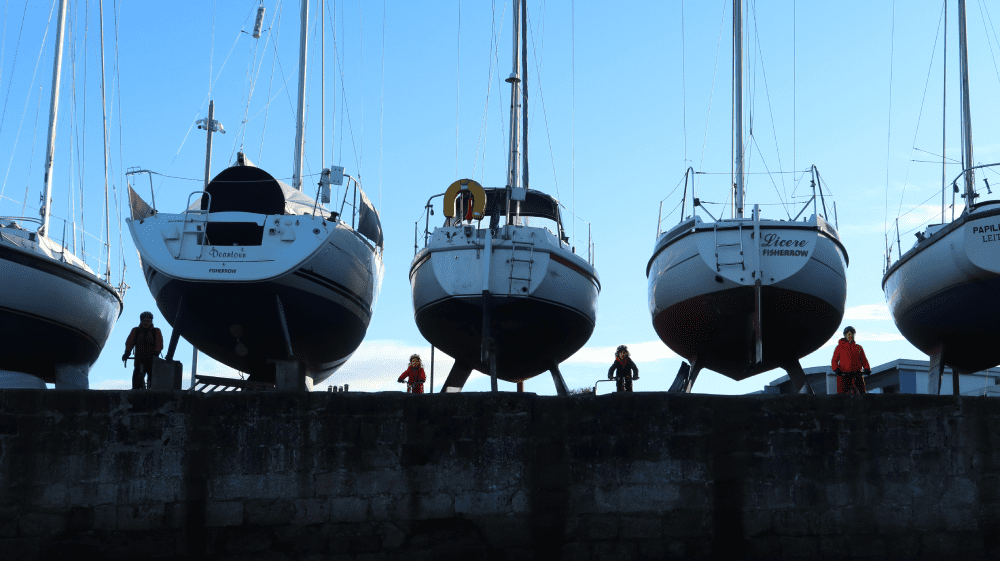
A circular loop, ideal for birdwatching enthusiasts and families, which connects Fisherrow Harbour in Musselburgh with Cockenzie Harbour.
| Suitable for: | Touring and gravel bikes |
| Total distance: | 17.9 km |
| Total ascent: | 50 m |
| Terrain: | A mixture of cycle paths, gravel paths and roads |
| Access: | Some barriers on a bridge and a narrow gate |
| Route Category: | Straightforward |
| Riding time: | 2 - 3 hrs |
| Start / Finish: | Musselburgh, Fisherrow Harbour |
| OS Grid Ref: | NT 33501 72950 |
| Getting there by public transport: | Musselburgh is served by trains from Edinburgh, bikes are free |
| Key Facilities on Route: | Musselburgh, Prestonpans, Port Seton |
| OS Landranger Map: | 66 |
Route Description
The route starts at Fisherrow Harbour in Musselburgh and follows the John Muir Way east along the promenade and the banks of the River Esk, crossing it on the newly reopened Electric Bridge. The route continues past a playground and skatepark, and then leaves Fisherrow Sands, a paradise for birdwatchers. From Morrison’s Haven, Prestongrange Museum is a worthwhile detour and free to enter. Prestonpans is renowned for its murals, some of them are passed by the route. If possible, the route follows the low tide route of the John Muir Way along the waterfront. Otherwise please follow the main road through Prestonpans and rejoin the John Muir Way after the big supermarket on the left. The route passes the remains of a former power station, and a few steps need to be negotiated before reaching Cockenzie Harbour. The tour can be further extended to Port Seton Harbour. The route returns on a cycle path along the main road first and then follows the road through Prestonpans and a cycle path towards Westpans. From here the route rejoins the John Muir Way until the Electric Bridge and returns on New Street to Fisherrow Harbour.
If you enjoyed this route, why not try the following?
Tantallon & Seacliff Circular
Scottish Outdoor Access Code: know the code before you go
gallery