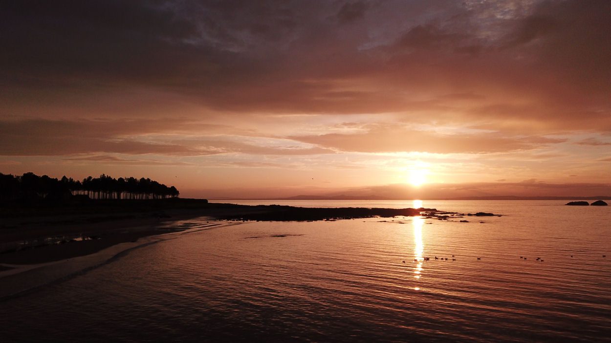
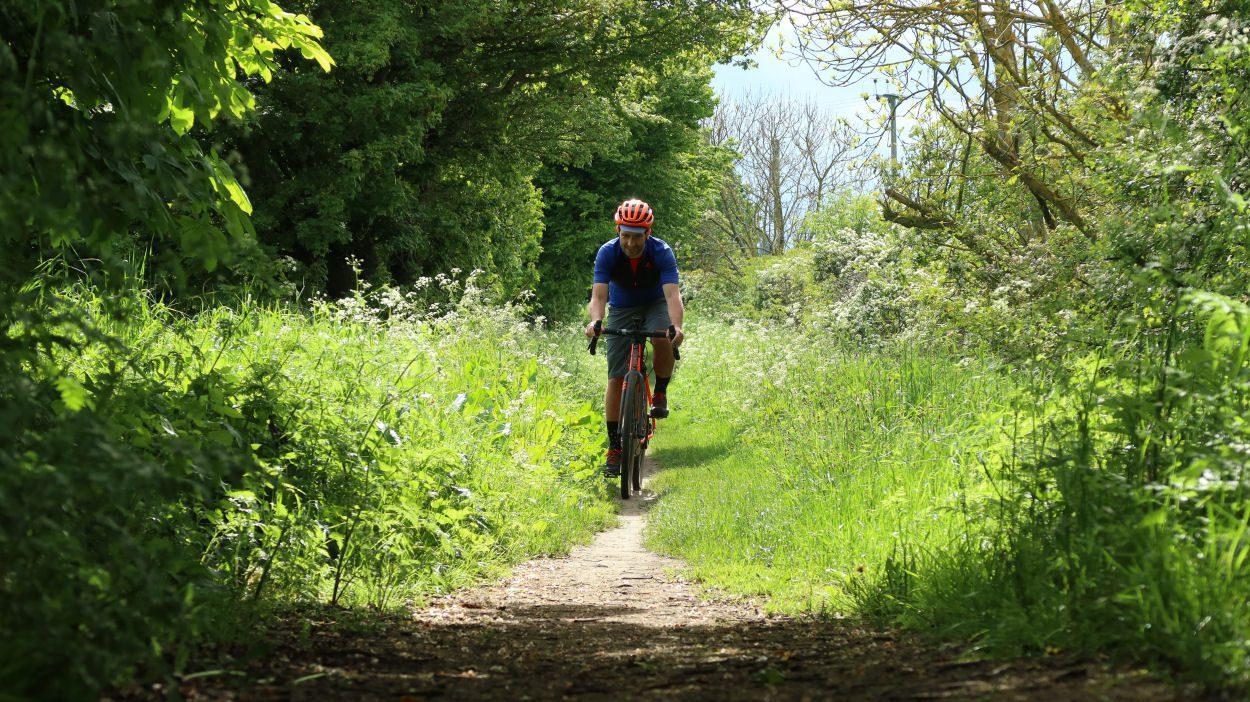
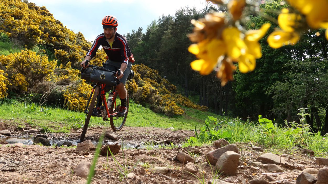
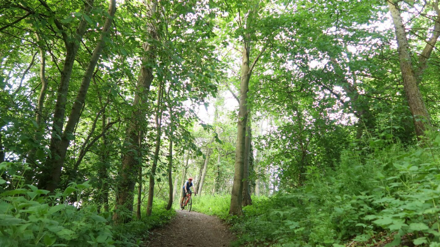
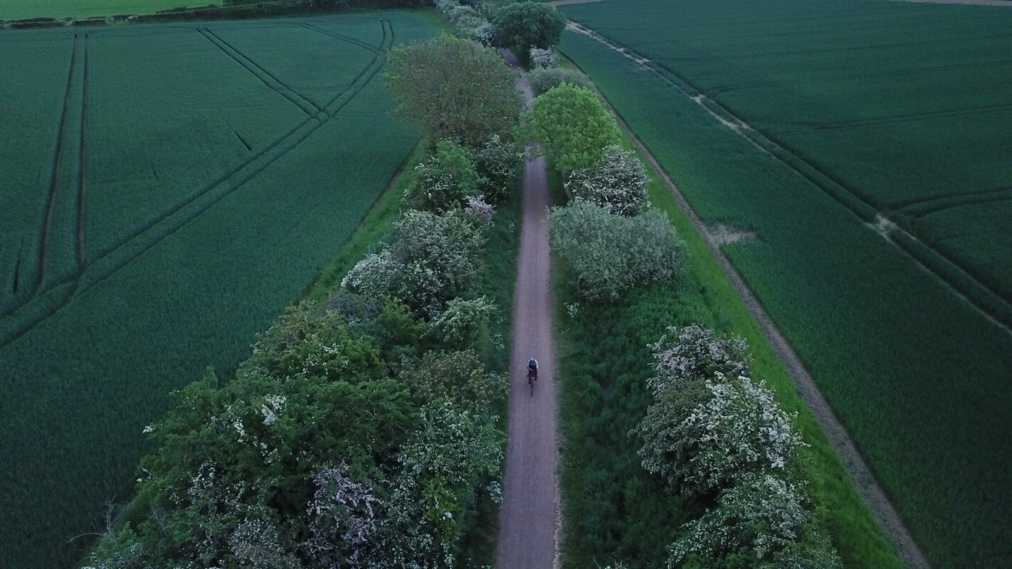
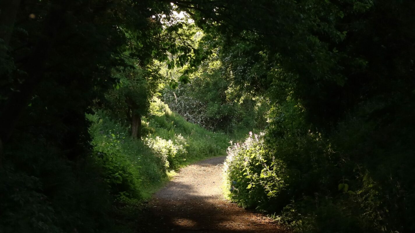
Go Gravel Riding
East Lothian is great for gravel riding. This collection of scenic routes will help you to discover this beautiful part of Scotland on two wheels.
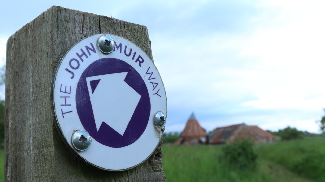
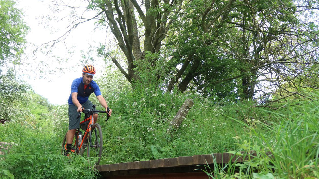
Ormiston Gravel Tour
Summary
A gravel ride combining the lanes and heritage, following Scotland’s first railway, passing through Scotland’s first planned village and two former battle sites.
| Suitable for: | Gravel bikes |
| Total distance: | 33 km |
| Total ascent: | 230 m |
| Terrain: | A mixture of cycle paths, gravel paths, quiet B-roads and lanes, with short sections on busier roads |
| Access: | Some gates or narrow bridges |
| Route Category: | Challenging |
| Riding time: | 2 - 4 hours |
| Start / Finish: | Prestonpans Railway Station |
| OS Grid Ref: | NT 39217 73752 |
| Getting there by public transport: | Prestonpans Station is on the Edinburgh - North Berwick railway line, bikes are carried free of charge |
| Key Facilities on Route: | Prestonpans, Ormiston, Musselburgh |
| OS Landranger Map: | 66 |

Route Description
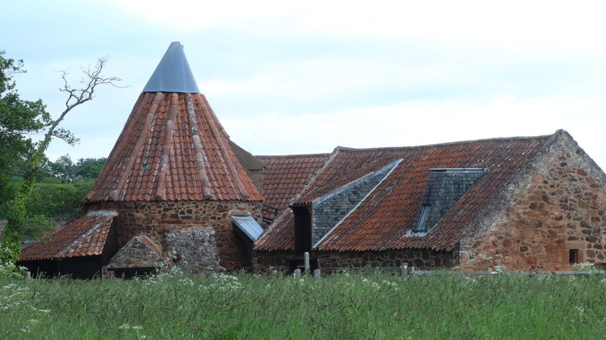
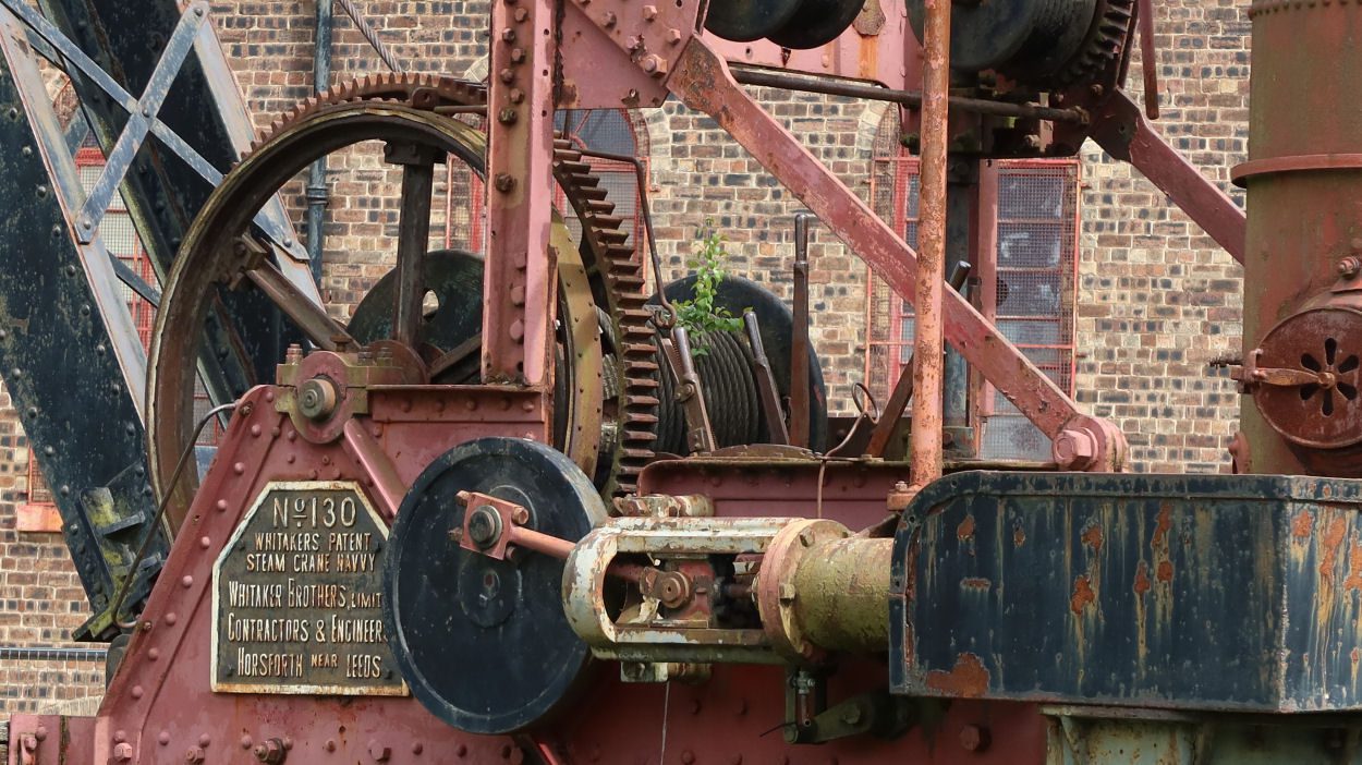
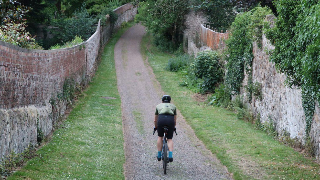
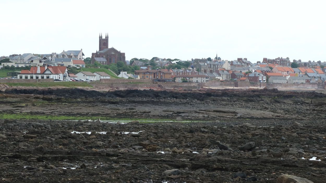
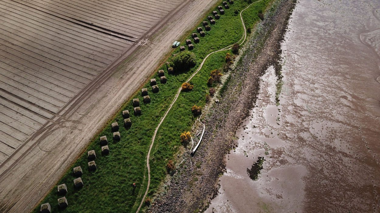
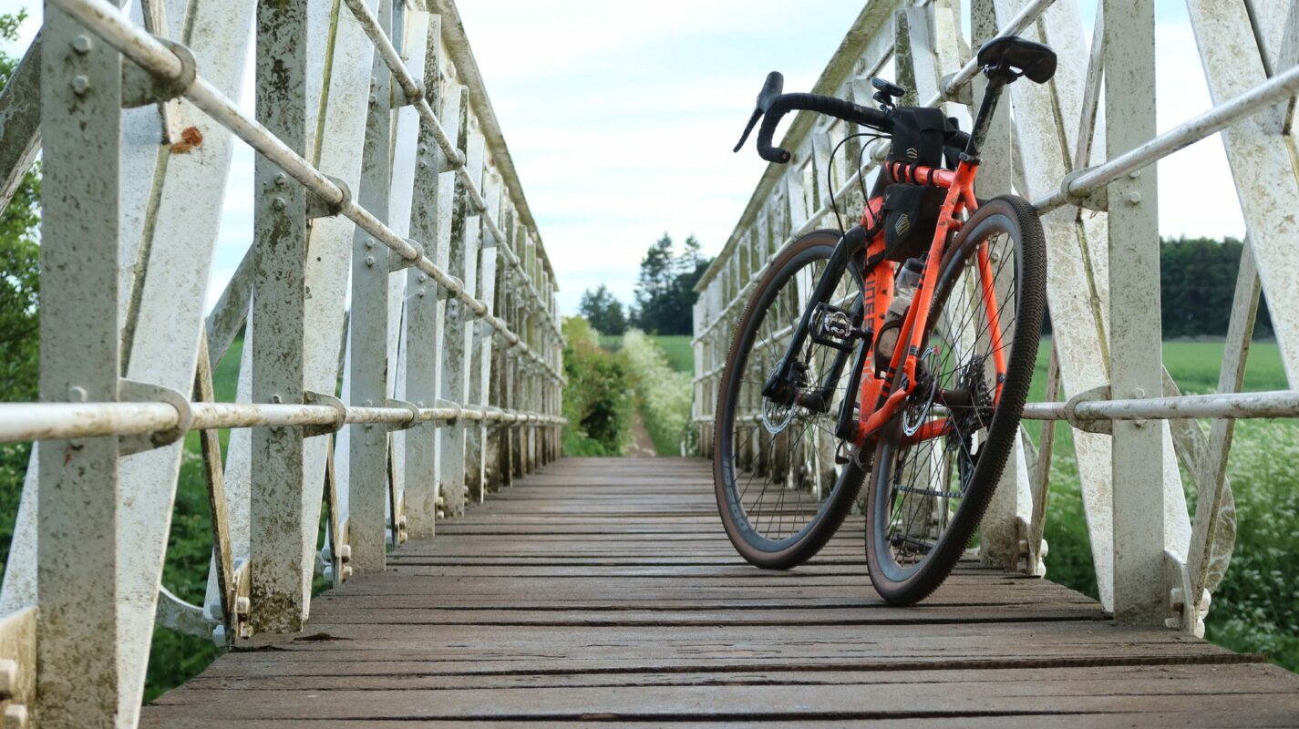
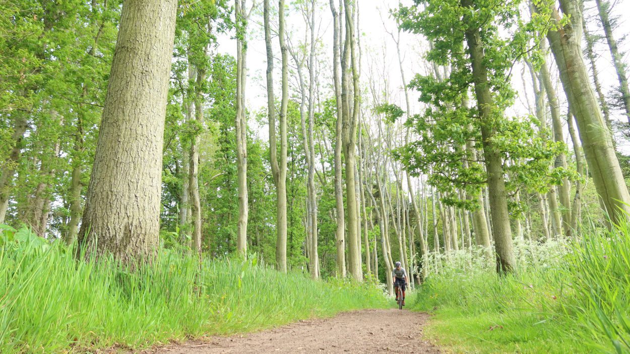
The route starts at Prestonpans Station on the Edinburgh-North Berwick Railway line. Following the route of the 1722 Waggonway, Scotland’s earliest railway, it passes the site of the Battle of Prestonpans, which offers great views over the Firth of Forth on a clear day. The route continues on another gravel track and then steadily climbs on gravel and tarmac lanes towards Elphinstone. The mix of lanes and roads continues to Ormiston, Scotland’s first planned village. Those sections can become overgrown in the height of summer but offer fantastic gravel riding in dry conditions. Ormiston is a great place for a stop, with a cafe and supermarket for food supplies. Shortly after the village, the route joins the Pencaitland Railway Path briefly, before returning on the road to Elphinstone. From here the route follows lanes and small roads to cross the A1 past the site of Battle of Pinkie Cleugh into Inveresk. The route continues along the banks of the River Esk to join the John Muir Way along the Forth coast. Prestongrange Museum, an industrial heritage museum between Musselburgh and Prestonpans, is a worthwhile detour before heading back to Prestonpans Station.
If you enjoyed this route, why not try the following?
North Berwick Gravel Gallivant
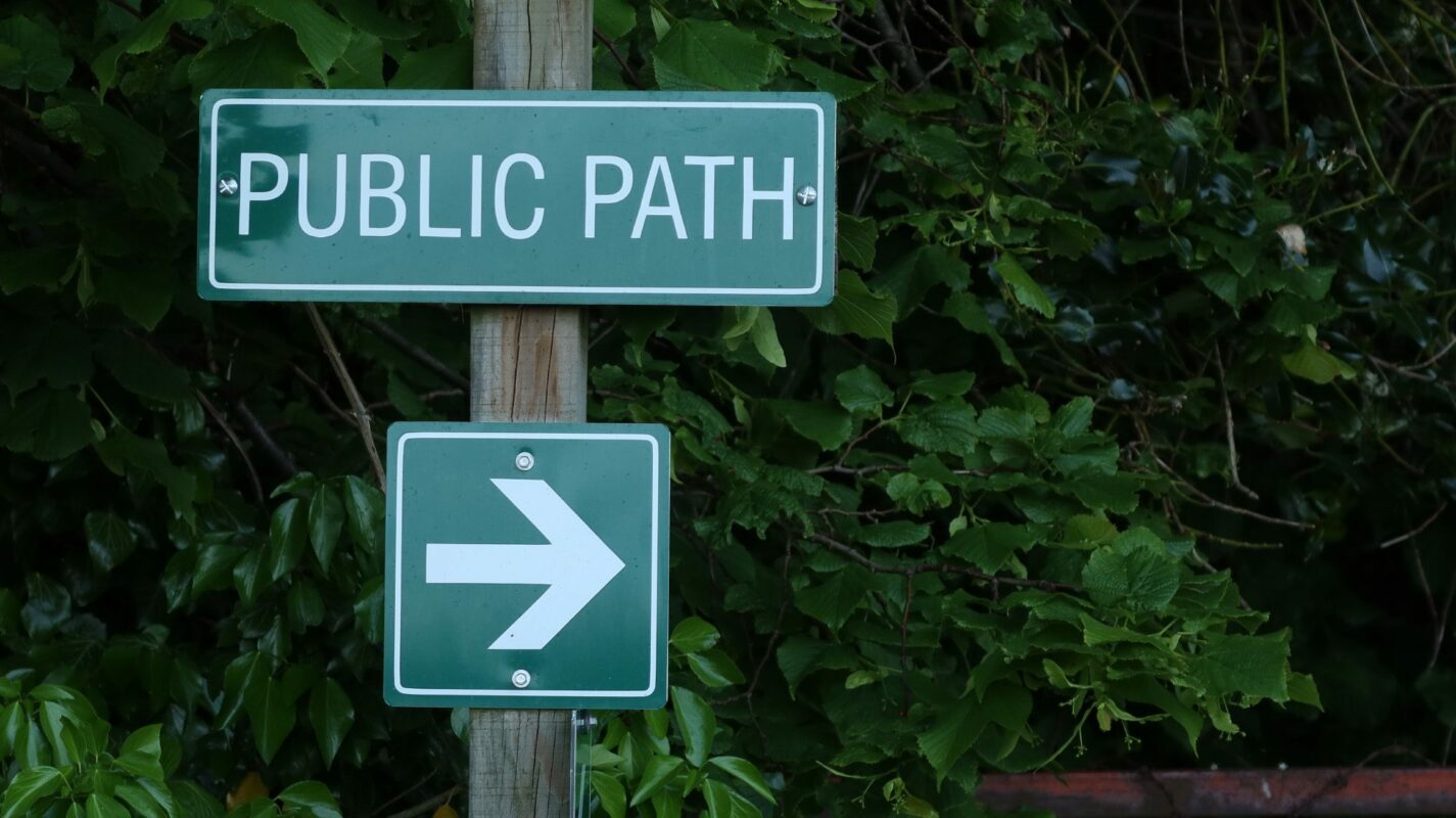
Scottish Outdoor Access Code: know the code before you go
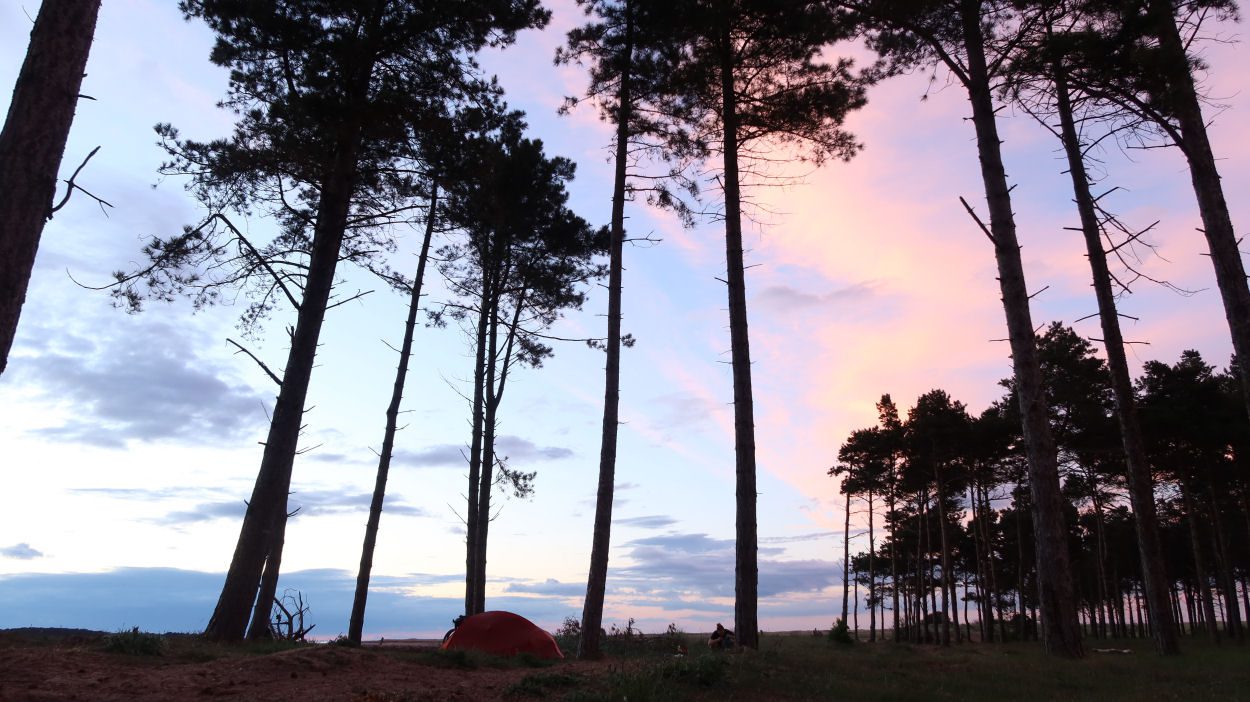
gallery


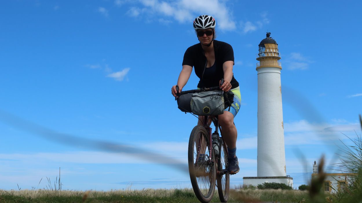
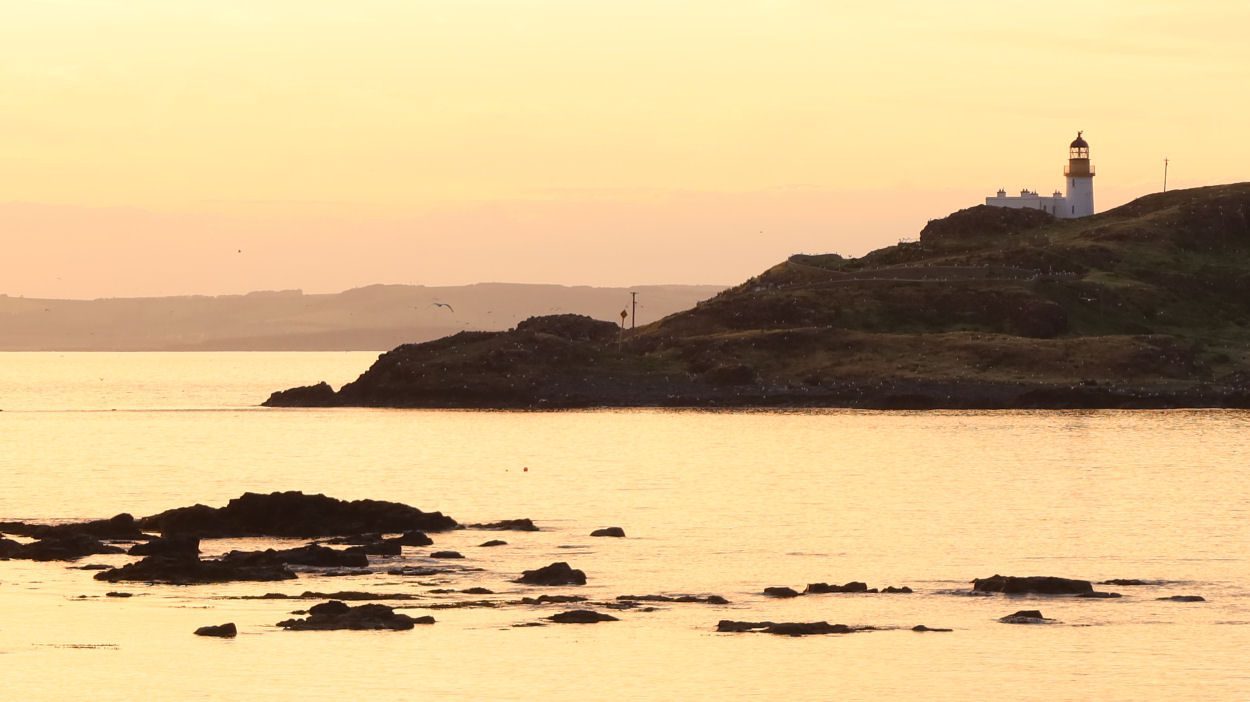
Barns Ness Lighthouse Gravel Adventure
Summary
A gravel bike adventure that explores the magnificent coastline that inspired the young John Muir on his adventures.
| Suitable for: | Gravel bikes |
| Total distance: | 19.4 km |
| Total ascent: | 90 m |
| Terrain: | A mixture of singletrack, cycle paths, gravel paths, quiet B-roads and lanes, some sections can be sandy and require pushing |
| Access: | Some steps |
| Route Category: | Straightforward |
| Riding time: | 2 - 3 hrs |
| Start / Finish: | John Muir’s Birthplace, Dunbar |
| OS Grid Ref: | NT 67878 79014 |
| Getting there by public transport: | Dunbar has regular train services from Edinburgh and London, bikes are free but must be reserved on LNER trains, Borders Buses Service 253 (Edinburgh to Berwick-Upon-Tweed via Dunbar) takes bikes for free |
| Key Facilities on Route: | Dunbar, West Barns |
| OS Landranger Map: | 67 |
Route Description
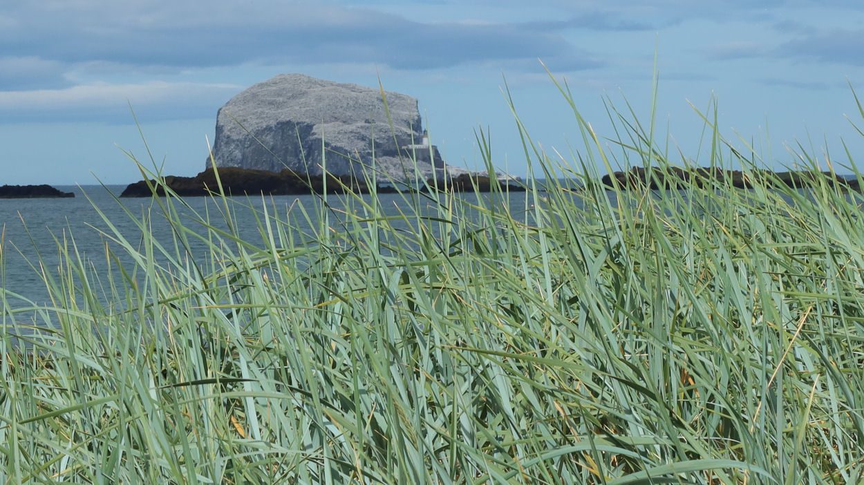
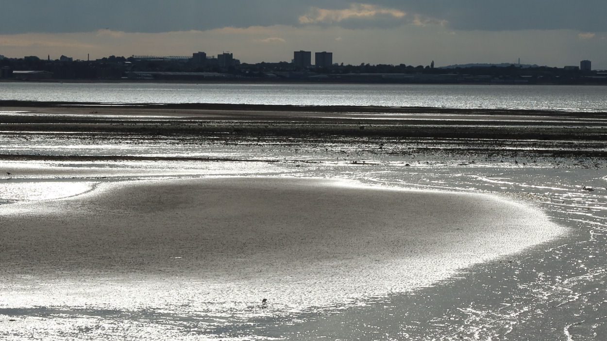
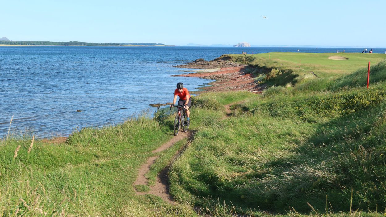
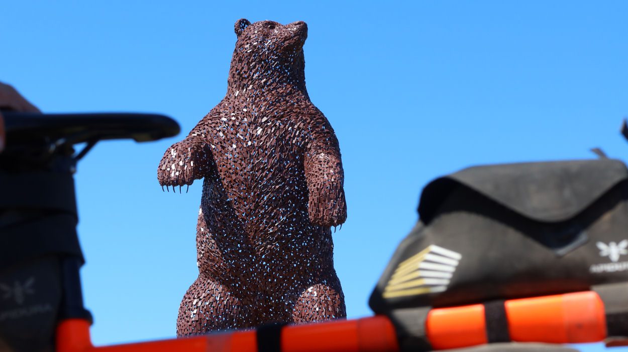
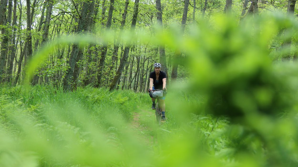
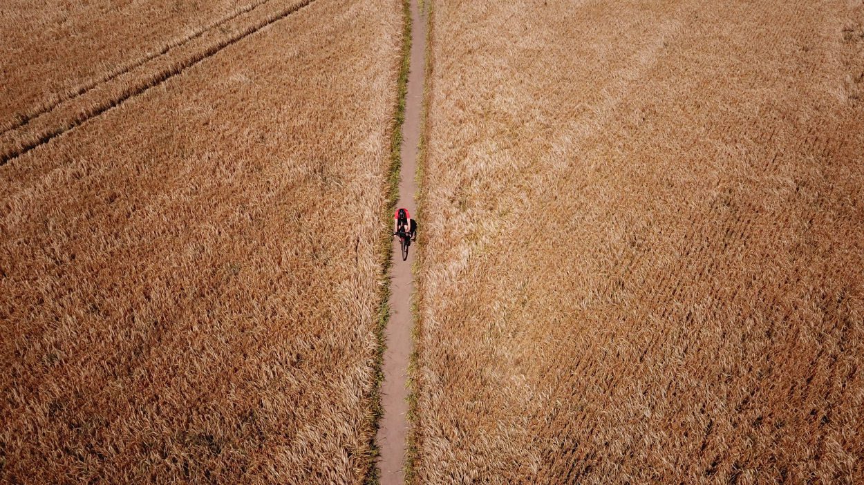
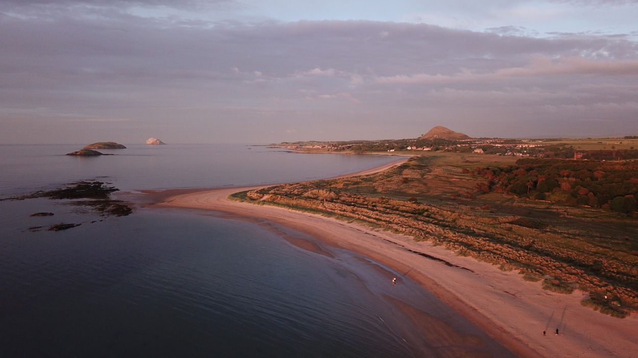
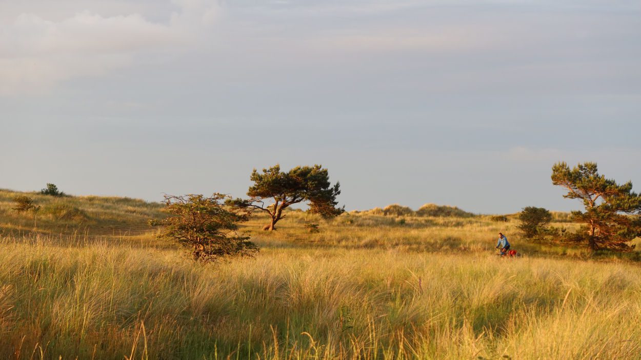
The route starts at the John Muir Birthplace in the heart of Dunbar. The birthplace of the explorer, naturalist, and influential conservationist also used to be a busy port, with its harbour dating back to 1574. The route follows some roads to avoid steps on the coastal path, before joining the John Muir Way at Marine Road. This part of the route offers stunning views over the Firth of Forth, and on good days Bass Rock is clearly visible with its impressive Gannett colony. The route is sandwiched between red sandstone cliffs and golf courses and continues on the John Muir Way into Belhaven Bay, where the ‘Bridge to Nowhere’ sticks out of the sea at high tide. Leaving the John Muir Way the route follows quiet roads to the edge of Dunbar, before following a dense woodland towards Kellie Road. Shortly afterwards DunBear is passed, a five-metre-high steel sculpture of a brown bear standing on its hind legs. The artwork by Andy Scott is a tribute to John Muir who is known as ‘Father of the National Parks’ due to his role in the establishment of National Parks in the USA. From Broxburn, the route follows a cycle path towards the coast and loops around Barns Ness lighthouse on a mixture of wide and narrow paths. The final section of the route follows the John Muir Link along the stunning coastline and finishes at Muir’s birthplace on the High Street.
If you enjoyed this route, why not try the following?
North Berwick Gravel Gallivant
Scottish Outdoor Access Code: know the code before you go
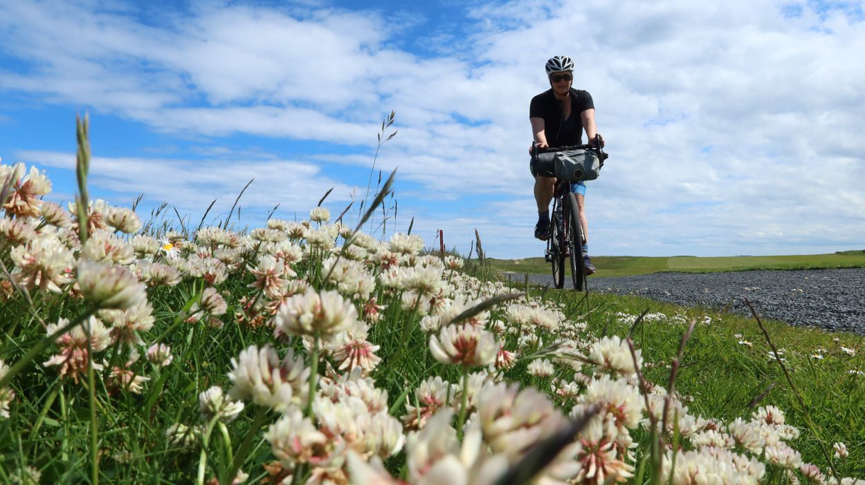
gallery

Tour of the Lammermuirs Gravel Adventure
Summary
A full day gravel adventure combining the stunning coastline of East Lothian with the solitude and and remoteness of the Lammermuir Hills.
| Suitable for: | Gravel bikes |
| Total distance: | 68.4 km |
| Total ascent: | 790 m |
| Terrain: | A mixture singletrack, cycle paths, gravel paths, quiet B-roads and lanes, with short sections on busier roads |
| Access: | Some gates (which are potentially locked) or narrow bridges |
| Route Category: | Expert |
| Riding time: | 7 - 9 hrs |
| Start / Finish: | Haddington, Nungate Bridge |
| OS Grid Ref: | NT 51926 73811 |
| Getting there by public transport: | Borders Buses Service 253 (Edinburgh to Berwick-Upon-Tweed via Haddington) takes bikes for free |
| Key Facilities on Route: | Haddington, Gifford, Garvald, West Barns, East Linton, Pencaitland, Ormiston (both short detour), Tranent |
| OS Landranger Map: | 66/67 |
Route Description
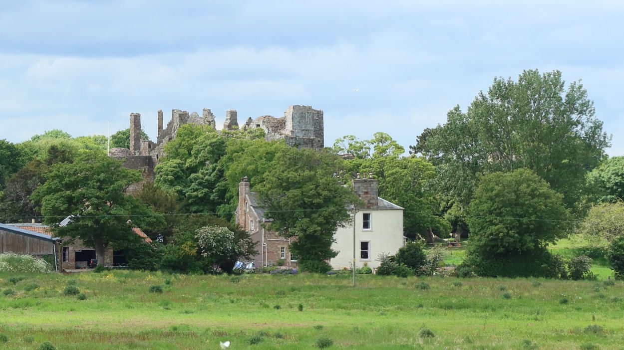
Starting at Nungate Bridge in Haddington the route follows quiet roads to Bolton. From here it follows the Gifford Water upstream to Gifford, where the famous Lanterne Rouge cafe is a popular stop for cyclists. The route continues through stunning woodlands alongside the Gifford Water, and then follows the eastern banks of Danskine Loch and Donolly Reservoir, and then along the Donolly Burn and a road into the village of Garvald. The next section of the route is very remote, so Garvald is the last stop with a pub and public toilets for a while. From Garvald the ‘Three Bridges’ route is followed through another stunning woodland before a quiet road climbs towards the Lammermuir Hills. A gravel track passes a farm into the open moorland, and after another farm, descends steeply towards the Gifford - Duns road. The track followed is signposted at the farm, avoiding crossing through the premises. The Whiteadder Water is negotiated by a ford, and after a short section on tarmac, the route crosses the river on a bridge and climbs steeply on the old Herring Road towards a wind farm. Extra care is needed from here, as construction work is still ongoing. Crossing the windfarm the route descends towards Woodhall Dean and rejoins quiet tarmac roads. Near The Brunt, the route follows a track on the banks of a loch to rejoin the road near Bell Craig. The route follows quiet roads and a short section of gravel track into West Barns and shortly afterwards picks up the John Muir Way along the Forth coastline. Tyninghame and its cafe are another popular stop for cyclists, from where the route follows the road into East Linton. From East Linton the route first joins Sustrans Route 76 towards Haddington past the ruin of Hailes Castle and finishes on beautiful paths along the River Tyne at Nungate Bridge.
If you enjoyed this route, why not try the following?
North Berwick Gravel Adventure
Scottish Outdoor Access Code: know the code before you go
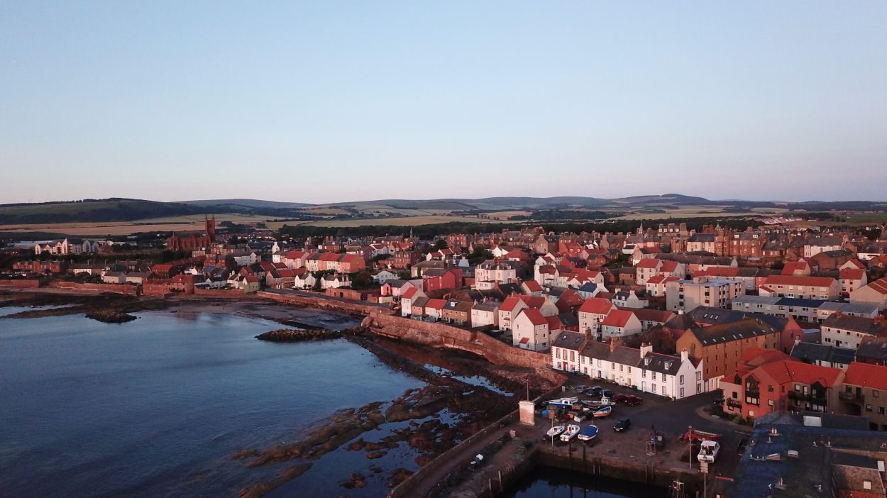
gallery
Two Railways Gravel Blast
Summary
| Suitable for: | Gravel bikes |
| Total distance: | 36.9 km |
| Total ascent: | 240 m |
| Terrain: | A mixture of cycle paths, gravel paths, quiet B-roads and lanes, with short sections on busier roads |
| Access: | Some gates or narrow bridges |
| Route Category: | Challenging |
| Riding time: | 2.5 - 4 hrs |
| Start / Finish: | Haddington, Start of Longniddry Railway Walk |
| OS Grid Ref: | NT 50148 73974 |
| Getting there by public transport: | Borders Buses Service 253 (Edinburgh to Berwick-Upon-Tweed via Haddington) takes bikes for free |
| Key Facilities on Route: | Haddington, Pencaitland, Ormiston (both short detour), Tranent |
| OS Landranger Map: | 66 |
Route Description
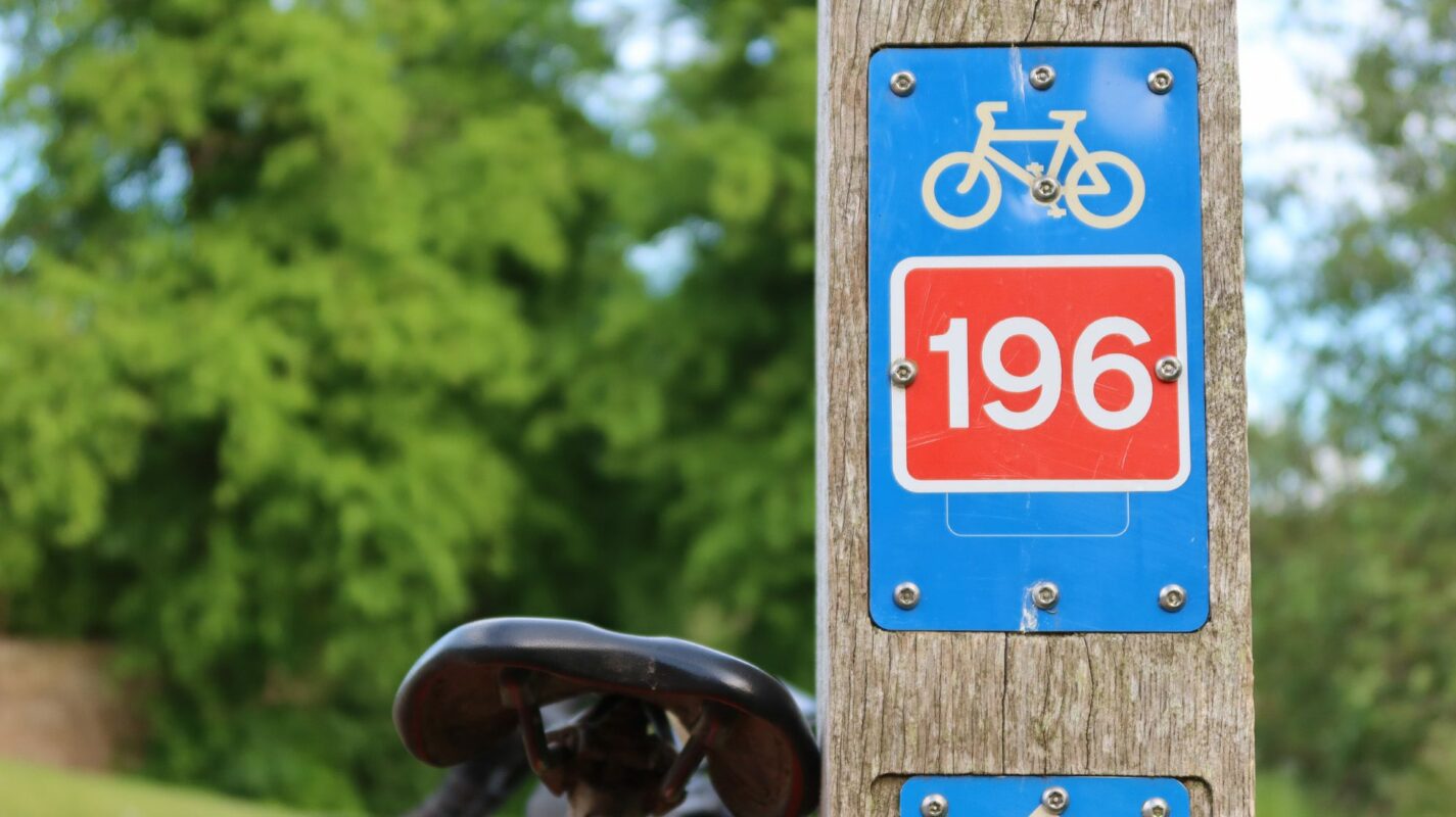
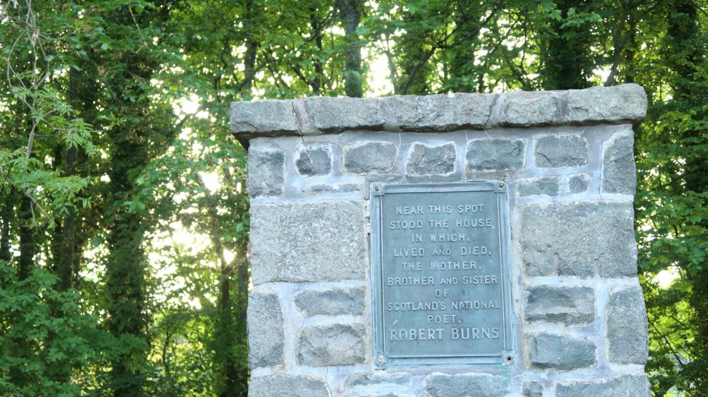
The route starts in Haddington, opposite the East Lothian Community Hospital, where the off-road cycling path (Sustrans Route 76) meets the road. The route first follows NCN 76 through Haddington, but then continues towards the banks of the River Tyne, where it meets another Sustrans Route, NCN 196. This crosses the River Tyne at a small bridge and then follows a small gravel path next to the road towards Samuelston. At a well dedicated to Agnes Broun, mother of Scotland's national poet Robert Burns, the route rejoins the road. The Burns' former home at Grant's Braes is marked by a road-side monument, 90m southwest of the well. The route continues on NCN 196, but then takes a shortcut through Cockburn Bridge. Rejoining NCN 196 at West Saltoun, a former railway line on the right provides some of the best gravel riding in East Lothian. The route follows the Pencaitland Railway Walk towards Ormiston, which is just a short detour off the route. Near Elphinstone, quiet gravel lanes are followed, before the route joins the road between Tranent and Macmerry. At Macmerry the route leaves the road and continues on gravel tracks and quiet lanes past Solomon’s Tower. Shortly afterwards another former railway line, now the Longniddry Railway Walk, provides another fabulous section on gravel back to the start in Haddington.
If you enjoyed this route, why not try the following?
North Berwick Gravel Adventure
Scottish Outdoor Access Code: know the code before you go
gallery

North Berwick Gravel Gallivant
Summary
A gravel loop combining some of the most enjoyable sections of the John Muir Way around the pretty seaside town of North Berwick.
| Suitable for: | Gravel bikes |
| Total distance: | 23.4 km |
| Total ascent: | 150 m |
| Terrain: | A mixture of singletrack, cycle paths, gravel paths, quiet B-roads and lanes, with one crossing of a busy road |
| Access: | One stone wall where the bike needs to be lifted over, and some gates |
| Route Category: | Straightforward |
| Riding time: | 2.5 - 4 hrs |
| Start / Finish: | North Berwick, Scottish Seabird Centre |
| OS Grid Ref: | NT 55400 85516 |
| Getting there by public transport: | North Berwick is served by trains from Edinburgh, bikes are free |
| Key Facilities on Route: | North Berwick, Dirleton |
| OS Landranger Map: | 66 |
Route Description
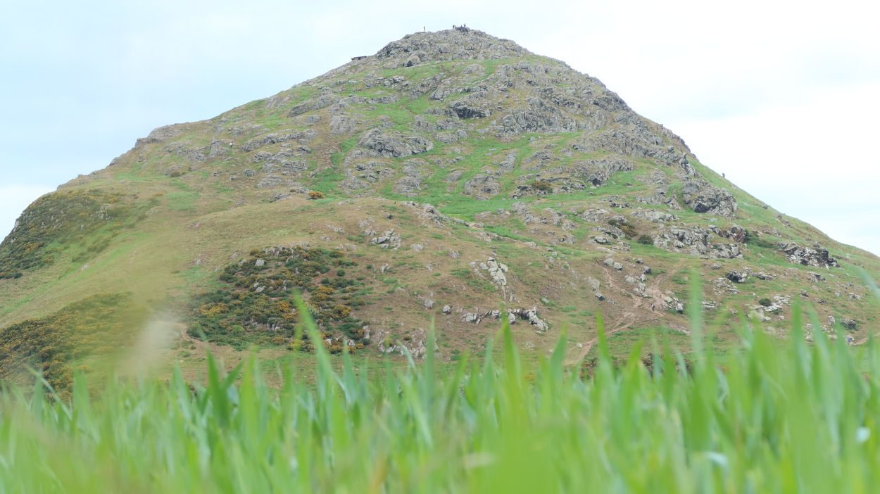
The route starts at the Scottish Seabird Centre in North Berwick, only a short cycle away from the train station. The route follows Marine Parade first, passing the remains of the former sea swimming pool. Shortly afterwards the route follows a wooded glen, crosses the main road to Dunbar and passes a residential area. Soon afterwards the route joins the John Muir Way to pass the impressive Berwick Law, a conical hill that rises from the surrounding landscape and overlooks the East Lothian landscape. This is a worthwhile detour on foot for the views. Although there is an opening in the wall just before the law, for most bikes this will be too narrow and bikes need to be lifted over the wall. For heavy bikes, continue on the road to join the route further south. The John Muir Way passes various fields before it enters a woodland. After Craigmoor Wood, one of the most enjoyable sections of the route, the route leaves the John Muir Way and follows quiet roads towards Dirleton. Care is needed when crossing the main road just before Dirleton. The castle in Dirleton and two pubs make this a good location for a stop, before cycling along the stunning coastline back to the finish in North Berwick.
If you enjoyed this route, why not try the following?
Barns Ness Lighthouse Gravel Adventure
Scottish Outdoor Access Code: know the code before you go
gallery


North Berwick Gravel Adventure
Summary
| Suitable for: | Gravel bikes |
| Total distance: | 53.5 km |
| Total ascent: | 290 m |
| Terrain: | A mixture of cycle paths, gravel paths, quiet B-roads and lanes, with short sections on busier roads |
| Access: | Some gates or narrow bridges |
| Route Category: | Expert |
| Riding time: | 4 - 6 hrs |
| Start / Finish: | North Berwick, Scottish Seabird Centre |
| OS Grid Ref: | NT 55400 85516 |
| Getting there by public transport: | North Berwick is served by trains from Edinburgh, bikes are free |
| Key Facilities on Route: | North Berwick, East Linton, Haddington, Aberlady, Gullane, Dirleton |
| OS Landranger Map: | 66/67 |
Route Description
The route starts at the Scottish Seabird Centre in North Berwick, only a short cycle away from the train station. The route follows Marine Parade first, passing the remains of the former sea swimming pool. Shortly afterwards the route follows a wooded glen, crosses the main road to Dunbar and passes a residential area. Here the route joins the John Muir Way to pass the impressive North Berwick Law, a conical hill that rises from the surroundings and overlooks the East Lothian landscape. This is a worthwhile detour on foot for the views. Although there is an opening in the wall just before the law, for most bikes this will be too narrow and bikes need to be lifted over the wall. For heavy bikes, continue on the road to join the route further south. The John Muir Way passes various fields before it enters a woodland. After Craigmoor Wood, one of the most enjoyable sections of the route, it continues on the John Muir Way first and on some walking tracks to Smeaton Nursery, a great stop for coffee and food. From East Linton, with Preston Mill just a short detour away, the route follows Sustrans Route 76 towards Haddington. The route follows the River Tyne through Haddington and then rejoins the Sustrans Route to follow the Longniddry Railway Walk. At Cottyburn the route leaves the gravel path and continues on quiet roads to Spittal. From here a selection of farm tracks and singletracks is followed on the edge of Gosford Commons into Aberlady, and then follows the John Muir Way along the stunning coast back to North Berwick.
If you enjoyed this route, why not try the following?
Tour of the Lammermuirs Gravel Adventure
Scottish Outdoor Access Code: know the code before you go
gallery