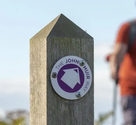
Walks Around John Muir Way
Download a selection of handy leaflets, each with maps, route descriptions and highlighting points of interest and enjoy days out walking along and around the John Muir Way in East Lothian.
Follow the maps to uncover scenic landscapes, welcoming towns and villages, a fascinating geology, a host of wildlife and a rich and varied history. The John Muir Way joins the John Muir Link in Dunbar which enables a walk to be extended to Cockburnspath where the John Muir Link meets up with The Southern Upland Way and Berwickshire Coastal Path opening up a whole host of options for the keen walker. For those who want to explore a bit further there are 3 day trips which take you off the John Muir Way route to discover some of East Lothian’s iconic places.
Slow down, enjoy the great views, stay a while and seek out the many fascinating places along the John Muir Way that have helped shape the county.
The John Muir Way Route
The John Mur Way in East Lothian starts in Musselburgh and continues along the coast to Dunbar, John Muir’s Birthplace. The Way connects with The John Muir Link which is a scenic coastal path between Dunbar and Dunglass.
Distance 48miles (77km)
Fisherrow to Port Seton
Begin at Musselburgh’s Fisherrow Harbour and pass the lagoons with rich birdlife, take the time to explore Prestongrange Museum before heading to the little fishing village of Port Seton.
Distance 6miles (10km)
Fisherrow to Cockenzie
Beginning at Fisherrow Harbour in Musselburgh, most of this part of the route follows the coastline and on a good day there are views across the Firth of Forth to Fife and the 3 iconic bridges over the Forth.
Distance 6miles (10km)
Cockenzie to Aberlady
From the fishing village of Cockenzie this section largely follows the coastline which offers great views over the Firth of Forth to Fife and the iconic Forth bridges which span the river.
Distance 5miles (8.5km)
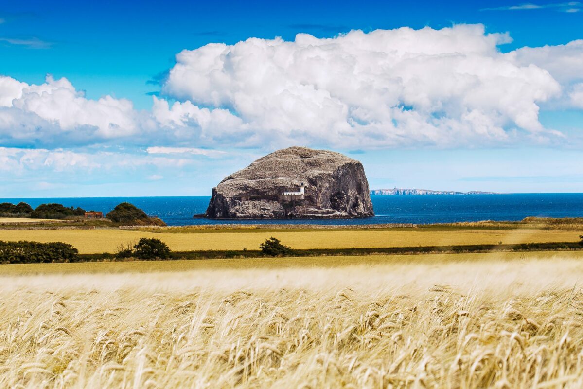
Aberlady to North Berwick
Starting in the pretty coastal village of Aberlady the route then moves inland slightly with views of castles, woodland and coastal grassland.
Distance 9miles (15km)
North Berwick Sandcastle Stroll
Start at the Scottish Seabird Centre and call into the Coastal Communities Museum before heading to Yellowcraig beach then onto Dirleton where you can see the impressive castle.
Distance 4.5miles (7km)
North Berwick to Tantallon Castle
This walk will give you some of the best views in East Lothian as you start by claiming North Berwick Law then follow the route to the mighty Tantallon Castle perched atop a cliff just outside North Berwick.
Distance 6miles (10km)
North Berwick to Dunbar
Take a path south from North Berwick through farm and woodland to East Linton then along the River Tyne to its estuary in Dunbar.
Distance 15miles (24km)
The John Muir Link
This coastal path connects the John Muir Way in Dunbar to the Southern Upland Way and the Berwickshire Coastal Path at Cockburnspath in the Scottish Borders.
Distance 10.5miles (17km)
Dunbar to East Linton
Start at John Muir’s Birthplace in Dunbar and find out about the great man before you enjoy cliff top views, the iconic Bridge to Nowhere, John Muir Country Park and East Lothian’s last working watermill Preston Mill in the pretty village of East Linton
Distance 8miles (13km)